- Public water
- Licence required
 Gammarids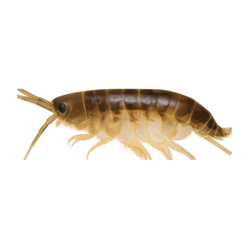
Hatch predictions
Supporters see the full hour-by-hour hatch timeline.
Start free trial14-day free trial. Cancel anytime.
Hatch predictions
Supporters see the full sub-surface read.
Start free trial14-day free trial. Cancel anytime.
Backed by regional invertebrate surveys; no sampling on this exact reach yet.
Numbers are intensity 0 (none) to 3 (peak) — a guide, not a guarantee.
Beat detail
- Asturian fishing licence required
- Parts of the Ponga valley may have special conservation status.
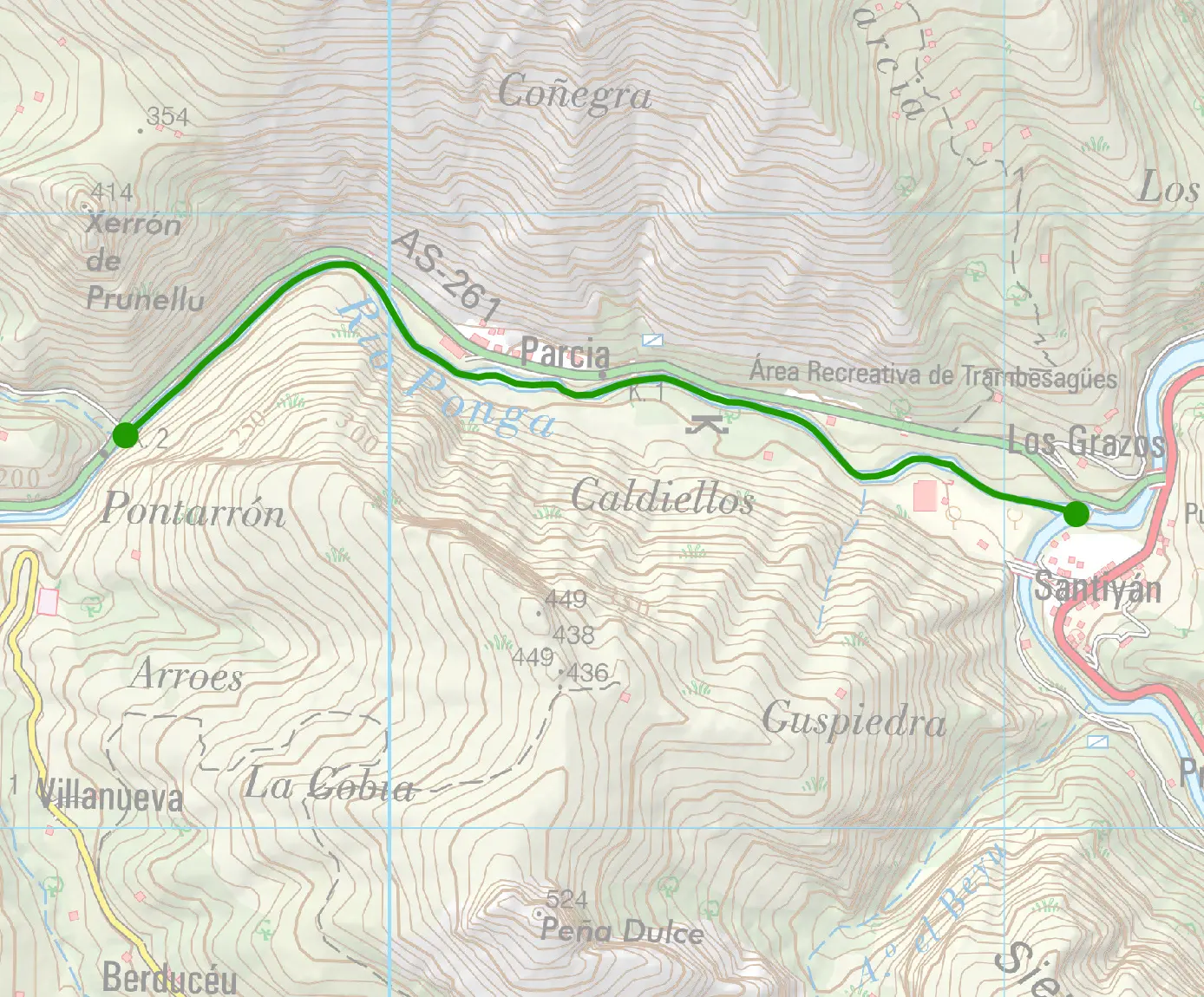
Terrain map
The full read · show the working · for Brown Trout · confidence 50%
- Trout Troisième Sunday de May → 15 August
The Ponga is a headwater tributary of the Sella, rising in Ponga Natural Park well above the Sella's salmon-zone refuge limit, so it sits in the mountain-zone tributary network. Mountain-zone trout (zona de alta montaña): opens Third Sunday of May, not the general 15 March, minimum size 17cm (vs. 19cm general). Asturian regulation classifies any tributary joining above a salmon river's designated zone-limit point as alta montaña water. Inferred here from confluence position, not a verified lookup against the official cotos map (pescafluvial.asturias.es) — confirm before treating as final.
- Pesca Fluvial Asturias — Permisos & Sorteo de CotosPermit information and the annual coto lottery (sorteo anual) for salmon, trout and reo. Run by the Principado de Asturias, not the Federación — the previous entry credited the Federación Asturiana de Pesca and pointed at fedpesca.com, which no longer resolves. The Federación does still exist, at asturianadepesca.com, but it is not the permit-allocation authority.
- Sede Asturias — Permisos de PescaAsturian fishing licence and salmon coto permits (sorteo lottery system)
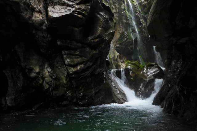
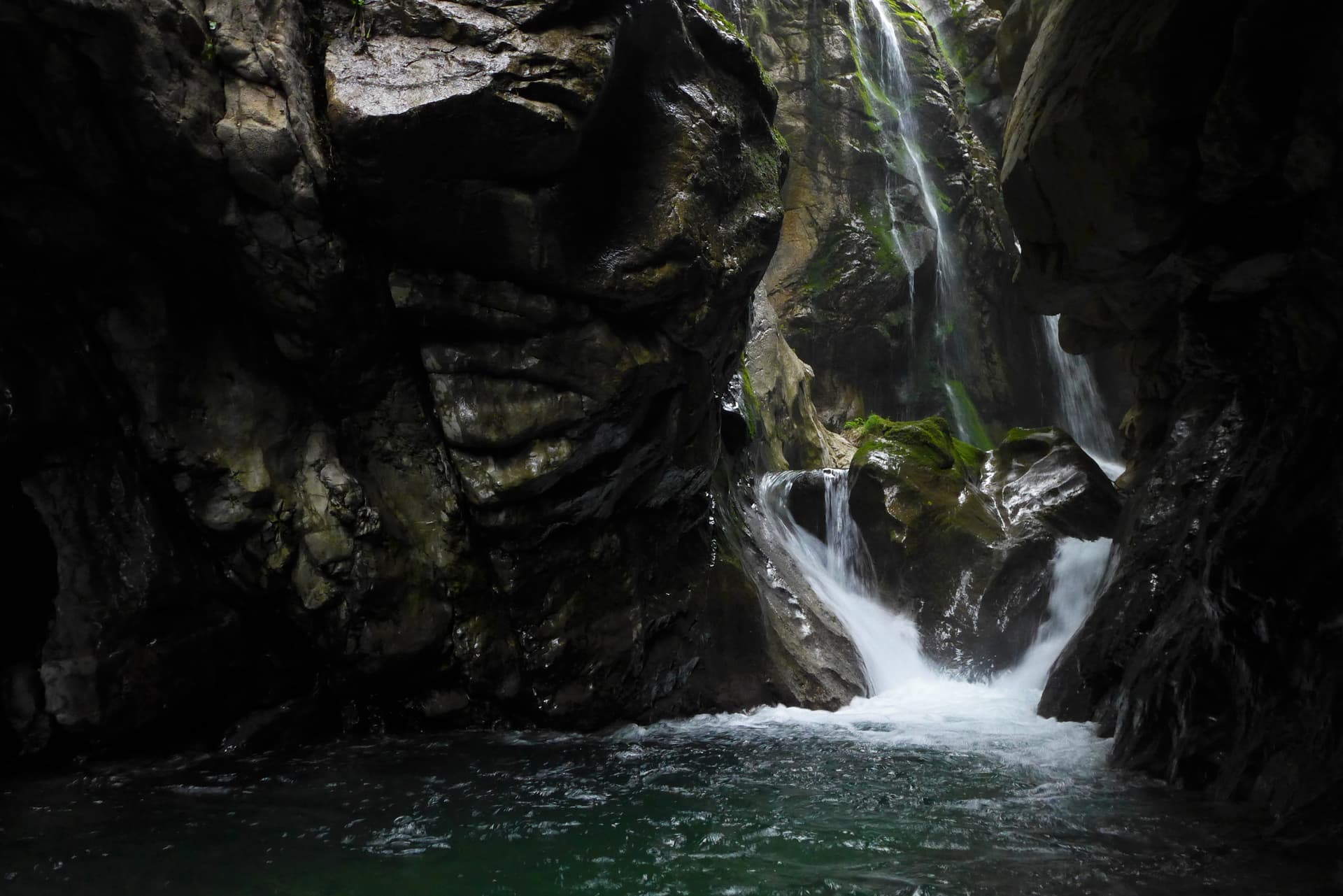
Río Ponga
Hatch predictions
Supporters see the full hour-by-hour hatch timeline.
Start free trial14-day free trial. Cancel anytime.
Hatch predictions
Supporters see the full sub-surface read.
Start free trial14-day free trial. Cancel anytime.
Backed by regional invertebrate surveys; no sampling on this exact reach yet.
Numbers are intensity 0 (none) to 3 (peak) — a guide, not a guarantee.
Beat detail
- Asturian fishing licence required
- Parts of the Ponga valley may have special conservation status.
Terrain map
The full read · show the working · for Brown Trout · confidence 50%
- Trout Troisième Sunday de May → 15 August
The Ponga is a headwater tributary of the Sella, rising in Ponga Natural Park well above the Sella's salmon-zone refuge limit, so it sits in the mountain-zone tributary network. Mountain-zone trout (zona de alta montaña): opens Third Sunday of May, not the general 15 March, minimum size 17cm (vs. 19cm general). Asturian regulation classifies any tributary joining above a salmon river's designated zone-limit point as alta montaña water. Inferred here from confluence position, not a verified lookup against the official cotos map (pescafluvial.asturias.es) — confirm before treating as final.
- Pesca Fluvial Asturias — Permisos & Sorteo de CotosPermit information and the annual coto lottery (sorteo anual) for salmon, trout and reo. Run by the Principado de Asturias, not the Federación — the previous entry credited the Federación Asturiana de Pesca and pointed at fedpesca.com, which no longer resolves. The Federación does still exist, at asturianadepesca.com, but it is not the permit-allocation authority.
- Sede Asturias — Permisos de PescaAsturian fishing licence and salmon coto permits (sorteo lottery system)