Spate · Limestone · Asturias, Spain

Río Ponga

Ponga venue image
Google Places

Upper left-bank tributary of the Sella.

Marginal · Brown Trout
Ignita CDC · 16-20
Marginallive now
Slow going — pick your moments
Low and clear — careful approach country. Cover and shadow are doing the work today.
50% confidence
What moved it
  • Level0.12 mLast reading 22h ago
  • Water temp11.2°C
  • ClarityClear
Today’s fly
IC
Ignita CDC16-20
Upstream dry, on top
Conditions on the water
Live gauge
Level
Steady
0.12 m
lowspate
Water temp11.2°C
ClarityClear
Weather15°C
WindS 5 km/h
Pressure1025 hPa
Rain · recent0.0 mm
Rain · ahead0.9 mm

Live readings — water temperature is an estimate where the gauge does not record it.

Water temperature for brown trout
Ideal
11°C est.ideal 1016°C
0°14°28°
How to fish it · for brown trout
When
Nymphing can work through most of the day.
Where
Cover mixed depths.
Method
Start with tight-line nymphs and adjust if fish rise or drift higher.
Kit
9 ft #4 rod, floating line, 12 ft tapered leader to 4–5 lb fluoro tippet.
Why this works
Poor — water temperature is working for you, but insect activity is the limiting factor today.
Hatch timeline · todayQuiet day

Hatch predictions

See the full hour-by-hour hatch timeline with Pro.

Start free trial

14-day free trial. Cancel anytime.

Evidence
Records-basedModerate confidence

Based on species-occurrence records, not local invertebrate surveys.

Through the year
0–3 scale · July highlighted
J
F
M
A
M
J
J
A
S
O
N
D
March BrownHatch
2
3
2
GrannomHatch
2
2
Large StoneflyHatch
2
3
2
Yellow SallyHatch
2
3
2

Numbers are intensity 0 (none) to 3 (peak) — a guide, not a guarantee.

Ranked for today
Brown Trout fly box
Beats · 1
Santillán · 1.8 kmC&R trout
C&R trout stretch — Desembocadura río Melón to Confluencia río Sella.
Beat detail
Daily permit required, all fish returned
Upstream: Desembocadura río Melón
Downstream: Confluencia río Sella
Santillán beat map
Permits & access
Free state water
State rod licence required for trout / salmon as applicable.
  • Asturian fishing licence required
  • Parts of the Ponga valley may have special conservation status.
What's coming
Plan ahead
5-day outlook
Fishing better nearby · 5
Gallery · 1
  1. Terrain map of the venue
    Terrain map
About this water

Upper left-bank tributary of the Sella. Flows from the Ponga Natural Park. Excellent wild trout in a dramatic mountain setting with limestone clarity.

Under the surface

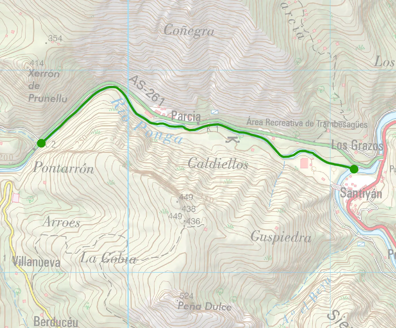
The Ponga arrives into the Sella network from the south, a slate-limestone mixed river with pronounced spate character. The upper reaches are step-pool through mixed lithology; the descent is steep and response immediate. The water carries both limestone clarity and slate amber tones blended. The middle Ponga opens into pool-riffle sequences on cobble; the pools are productive. The river's character maintains its responsive disposition throughout. The wading demands care in the upper step-pool sections, becoming more approachable as the river opens.

Wading: Polished wet limestone slabs at step lips

  • Limestone
  • Confined
  • Bedrock
  • Step pool
The full read · show the working · for brown trout · confidence 50%
How the 30 is built — score × weight = contribution
Temperature100 × 28%28.0
Flow15 × 22%3.3
Clarity95 × 18%17.1
Feeding Time55 × 13%7.2
Pressure80 × 7%5.6
Insect activity14 × 12%1.7
Limiting factor: River is stable — Brown Trout prefers medium flow= 63
Can you trust it?
Water temperatureair-to-water estimateestimated
Level / flowon-river gaugeobserved
Prey activitymodelled from regional profilemodelled
What would change the calculation
A drop and clear would lift the flow and clarity scores.
The dawn and dusk windows score higher than the midday lull.
Related guides
Booking & contacts