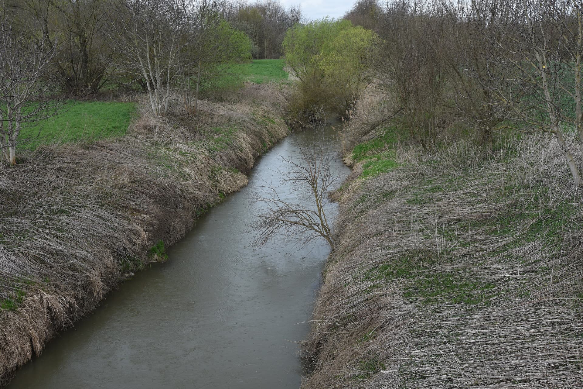
Freestone · Mixed · Hungary / Vas County (Alpokalja, western Hungary), HU

Pinka & Répce (managed trout streams)

Pinka Kemestaródfa

Two small western-border streams with active trout management by Vas County.

Poor · Brown Trout
Pheasant Tail Nymph · 12–14
Closed season
Out of season. Try elsewhere.
Closed — confidence not applicable today.
What moved it
  • LevelHeavy rain recentlyNo gauge reading
  • Water temp4.2°C
  • ClarityVery coloured
Today's fly
Pheasant Tail Nymph
Pheasant Tail Nymph12–14
High-confidence seasonal pick
Conditions on the water
Estimate
Level
Heavy rain recently
No gauge reading
Water temp4.2°C
ClarityVery coloured
Weather-2°C
WindNW 7 km/h
Pressure1023 hPa
Rain · recent32.1 mm
Rain · ahead0.0 mm

No gauge on this water — readings are regional estimates from weather, not a live gauge.

Water temperature for Brown Trout
Cool — slow
4°C est.ideal 10–16°C
0°14°28°
How to fish it · for Brown Trout
When
Nymphing can work through most of the day.
Where
Cover mixed depths.
Method
Start with tight-line nymphs and adjust if fish rise or drift higher.
Kit
9 ft #4 rod, floating line, 12 ft tapered leader to 4–5 lb fluoro tippet.
Likely species
Hatch timeline · todayQuiet day

Hatch predictions

Supporters see the full hour-by-hour hatch timeline.

Start free trial

14-day free trial. Cancel anytime.

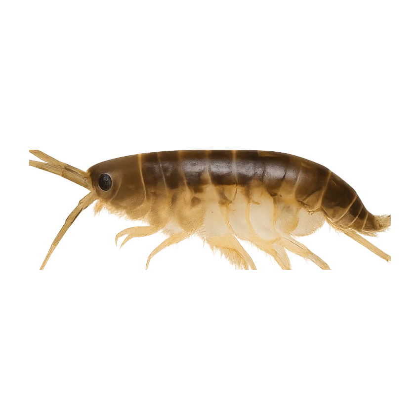
Sub-surface · on the nymphunder the surface

Hatch predictions

Top nymph shown — see all 3 guilds as a supporter.

Start free trial

14-day free trial. Cancel anytime.

Evidence
Survey-backed · regionalHigh confidence

Backed by regional invertebrate surveys; no sampling on this exact reach yet.

Through the year
0–3 scale · November highlighted
J
F
M
A
M
J
J
A
S
O
N
D
Evening SedgeHatch
2
3
3
3
2
Alpine RhithrogenaHatch
1
2
2
1
Large Dark OliveHatch
1
2
2
1
Iron BlueHatch
1
2
2
2
2
2
2
1

Numbers are intensity 0 (none) to 3 (peak) — a guide, not a guarantee.

Ranked for today
Brown Trout fly box
Permits & access
Permit required — see local rules.
  • Hungarian fishing documents plus local area ticket required
  • Treat foreign-angler access as something to verify through MOHOSZ and the Vas County association rather than assuming one simple substitute-licence rule.
What's coming
Plan ahead
5-day outlook
Other water nearby · 3
Gallery · 2
  1. Pinka Kemestaródfa
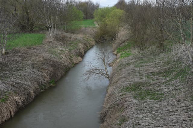
  2. Terrain map of the venue
    Terrain map
About this water

Both stocked with native brown trout. Managed trout waters rather than wild systems—legitimate local fishing but stocking dependency should be understood. Small-stream character. Pinka flows south along Austrian border; Répce runs north-west. Cooler months and spring/early summer best. Local association area ticket + state licence required.

  • Mixed
The full read · show the working · for Brown Trout · confidence 50%
How the 0 is built — score × weight = contribution
Temperature14 × 28%3.9
Flow71 × 22%15.6
Clarity15 × 18%2.7
Feeding Time80 × 13%10.4
Pressure80 × 7%5.6
Insect activity15 × 12%1.8
Limiting factor: Water temperature (4.2°C) is outside Brown Trout's preferred range (10–16°C)= 40
Can you trust it?
Water temperatureair-to-water estimateestimated
Level / flowon-river gaugeobserved
Prey activitysurvey-backed invertebrate datasurvey
What would change the calculation
Warmer water — toward the 10–16 °C ideal band — would lift the temperature score.
A drop and clear would lift the flow and clarity scores.
Directions
Seasons & zones
  • Trout check current local Vas County trout rules → check current local Vas County trout rules
Related guides
Booking & contacts
At a glance

Pinka & Répce (managed trout streams) is a freestone river in Hungary / Vas County (Alpokalja, western Hungary). It sits at about 222 m above sea level. The species listed for this water is brown trout. Best window recorded for anglers: Spring to early autumn in cooler conditions, with the exact legal window checked against current Vas County rules. Core methods listed: Nymph fishing; Dry fly. Nearby waters in our listings include Vaskeresztes Alpine Lake (Alpesi-tó) at 5.0 km, Gyöngyös stream at 12 km and Mura at 58 km.