
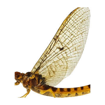
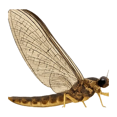
 Mayflies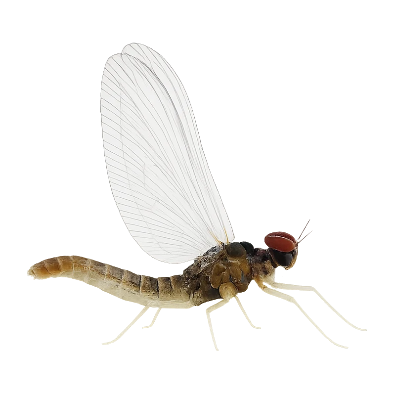
 Chironomids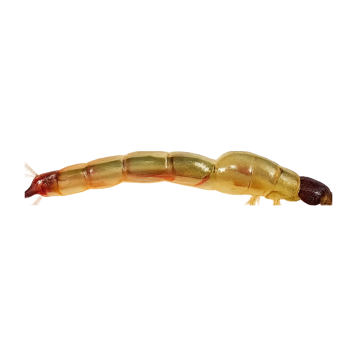
 Gammarids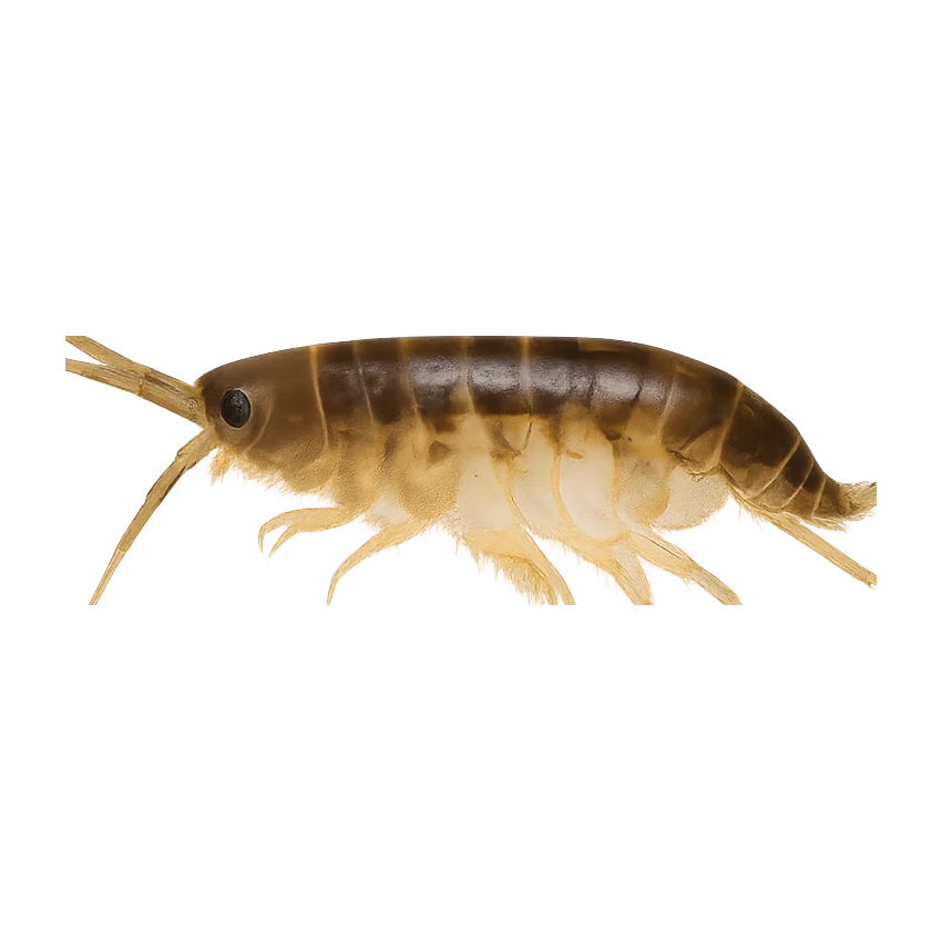
One of the cornerstone Steelhead Alley rivers east of Cleveland — a shale-bottom stream that runs hard after rain and fishes beautifully on the drop, with reliable stocked steelhead all through the cold months.
- Shale
Hatch predictions
Today's headline hatch shown — see all 4 active hatches hour by hour as a supporter.
Start free trial14-day free trial. Cancel anytime.
Hatch predictions
Supporters see what else is on the menu.
Start free trial14-day free trial. Cancel anytime.
Based on species-occurrence records, not local invertebrate surveys.
Numbers are intensity 0 (none) to 3 (peak) — a guide, not a guarantee.
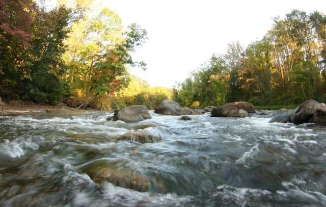
One of the cornerstone Steelhead Alley rivers east of Cleveland — a shale-bottom stream that runs hard after rain and fishes beautifully on the drop, with reliable stocked steelhead all through the cold months.
Fish consumption: Consumption advisory (Polychlorinated Biphenyls PCBs) — fish for sport, not the table.
Recreation: Bacteria/pathogen advisory — mind wading cuts and immersion.
EPA ATTAINS assessment unit 'Griswold Creek-Chagrin River' (OH041100030402), 2024 Integrated Report. Aquatic Life use: Not Supporting. Listed impairment causes: Temperature, Sediment, Habitat Alterations, Pathogens, Polychlorinated Biphenyls PCBs, Pesticides. This is a Clean Water Act assessment-unit classification (the US analogue of WFD), not a live reading.
Status is for the Clean Water Act assessment unit covering this reach.
EPA ATTAINS (Clean Water Act) · OH041100030402
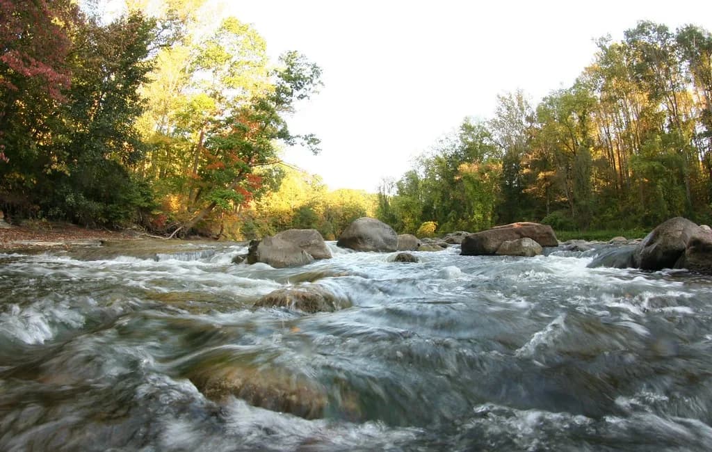
One of the cornerstone Steelhead Alley rivers east of Cleveland — a shale-bottom stream that runs hard after rain and fishes beautifully on the drop, with reliable stocked steelhead all through the cold months.
Hatch predictions
Today's headline hatch shown — see all 4 active hatches hour by hour as a supporter.
Start free trial14-day free trial. Cancel anytime.
Hatch predictions
Supporters see what else is on the menu.
Start free trial14-day free trial. Cancel anytime.
Based on species-occurrence records, not local invertebrate surveys.
Numbers are intensity 0 (none) to 3 (peak) — a guide, not a guarantee.
One of the cornerstone Steelhead Alley rivers east of Cleveland — a shale-bottom stream that runs hard after rain and fishes beautifully on the drop, with reliable stocked steelhead all through the cold months.
Fish consumption: Consumption advisory (Polychlorinated Biphenyls PCBs) — fish for sport, not the table.
Recreation: Bacteria/pathogen advisory — mind wading cuts and immersion.
EPA ATTAINS assessment unit 'Griswold Creek-Chagrin River' (OH041100030402), 2024 Integrated Report. Aquatic Life use: Not Supporting. Listed impairment causes: Temperature, Sediment, Habitat Alterations, Pathogens, Polychlorinated Biphenyls PCBs, Pesticides. This is a Clean Water Act assessment-unit classification (the US analogue of WFD), not a live reading.
Status is for the Clean Water Act assessment unit covering this reach.
EPA ATTAINS (Clean Water Act) · OH041100030402