

Freestone · Shale · Ohio, US

Ashtabula River

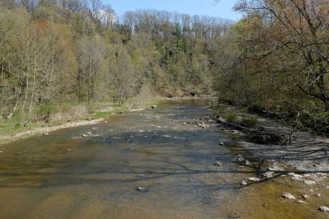
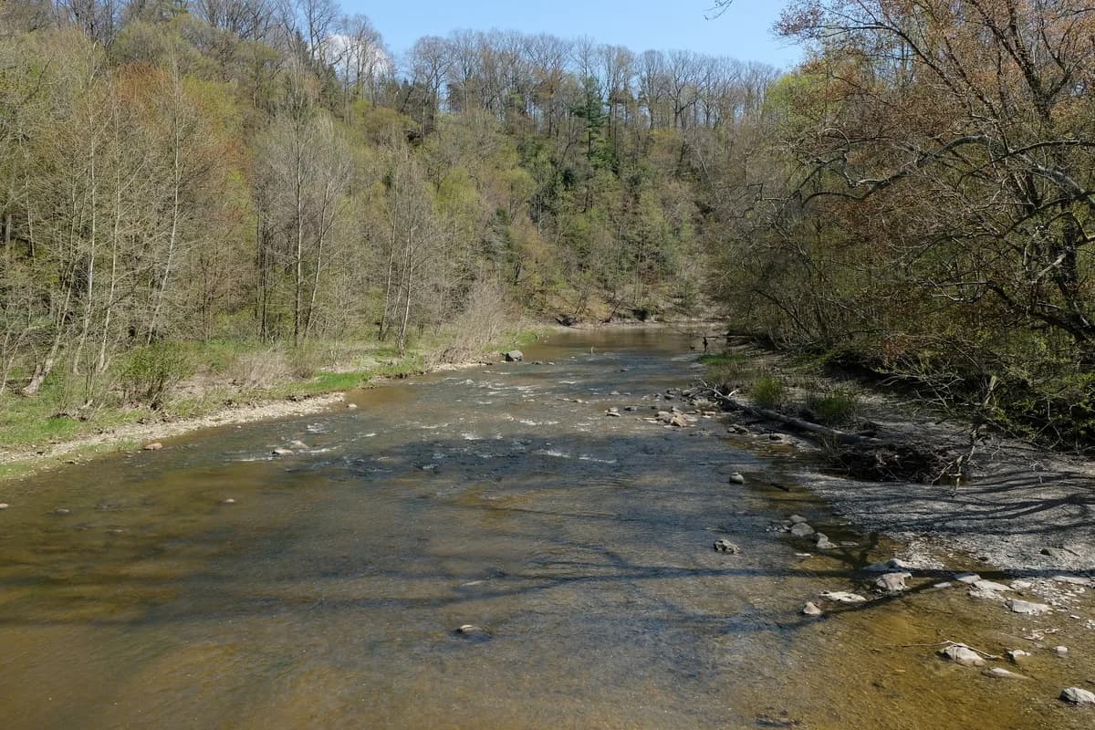
A wide shallow river flows over a gravel bed through a wooded valley in Ashtabula County, Ohio, with a person and dog fishing along the far bank.

The Ashtabula sits between the Grand and Conneaut among Ohio's eastern steelhead rivers.

Tomorrow · A side-water session, not the main event
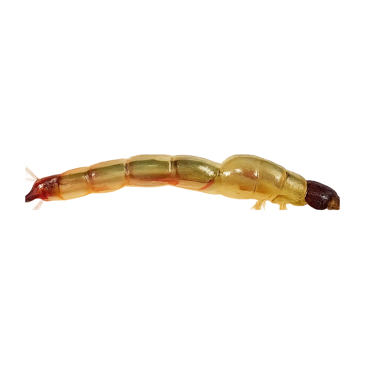
Isonychia Nymph
Forecast · Tomorrow
A side-water session, not the main event
A patient day. Fish the cover and stay with it.
75% projected
Today's fly
Isonychia Nymph
Isonychia Nymph
Conditions on the water · Tomorrow
Proxy gauge
Level
Steady
Proxy
via Chagrin River
Water temp15.9°C
ClarityClear
Weather21°C
WindN 14 km/h
Pressure1024 hPa
Rain · recent0.0 mm
Rain · ahead0.0 mm

No gauge on this water — conditions are inferred from Chagrin River. The trend transfers, the absolute level does not.

Water temperature for Steelhead
Warm — slow
16°C est.ideal 413°C
0°14°28°
How to fish it · for Steelhead
When
Steelhead Oct–Apr, especially fall pushes and spring returns on falling water
Where
The Ashtabula sits between the Grand and Conneaut among Ohio's eastern steelhead rivers.
Why this works
Fair — water clarity is working for you, but water temperature is the limiting factor today.
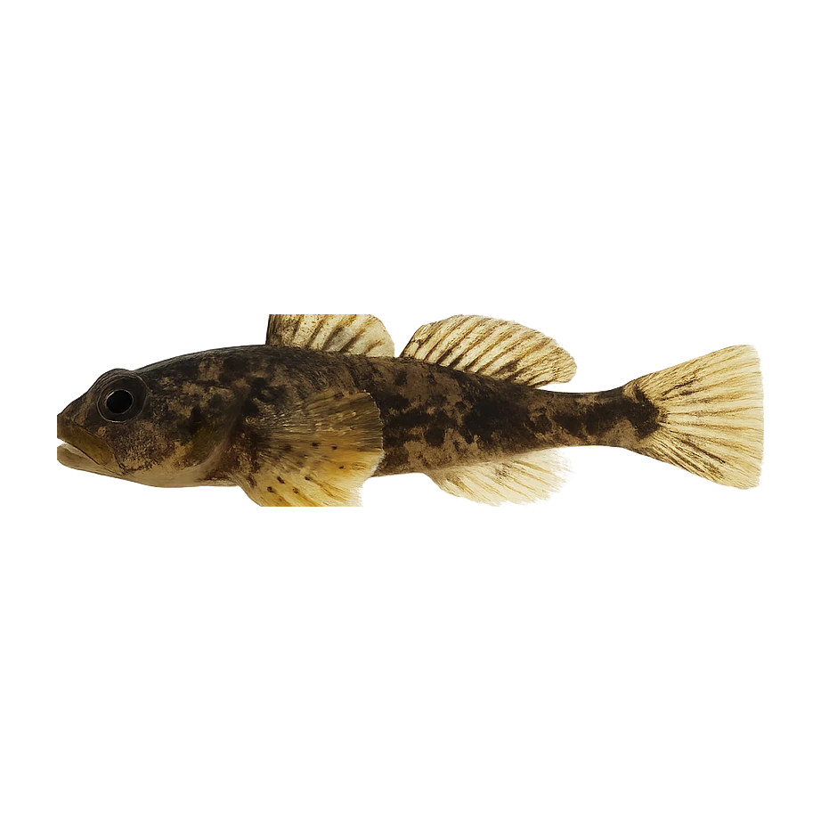
Likely species
Hatch timeline · tomorrowPeak at 7am

12pm(now) Reed Smut

Stage: On emergersApproach: Emerger or dryActivity: 93%
Also:Flying Ants59%Trico (Eastern)51%
Peak emergence windowWeather boost6 food groups active

Peak activity at 7am — Trico (Eastern) (Trico (Eastern), Weather boost)

Sub-surface · on the nymphunder the surface

Hatch predictions

See the full sub-surface read with Pro.

Start free trial

14-day free trial. Cancel anytime.

Beyond the hatch · worth watchingambient prey(1)

Hatch predictions

See what else is on the menu with Pro.

Start free trial

14-day free trial. Cancel anytime.

Evidence
Records-basedModerate confidence

Based on species-occurrence records, not local invertebrate surveys.

Through the year
0–3 scale · September highlighted
J
F
M
A
M
J
J
A
S
O
N
D
Brown DunHatch
2
3
3
3
3
3
3
2
Quill GordonHatch
2
2
Blue QuillHatch
2
3
2
HendricksonHatch
2
2

Numbers are intensity 0 (none) to 3 (peak) — a guide, not a guarantee.

Ranked for today
Steelhead fly box
Local fly shops: Chagrin River Outfitters·East End Angler·Elk Creek Sports Shop
Permits & access
Permit required — see local rules.
  • Ohio licence; verify ODNR reach rules
  • Introduced, stocked sport fishery.
What's coming
Plan ahead
5-day outlook
Fishing better nearby · 5
Gallery · 2
  1. A wide shallow river flows over a gravel bed through a wooded valley in Ashtabula County, Ohio, with a person and dog fishing along the far bank.
    The Ashtabula River near Riverview Covered Bridge, Ohio
  2. Terrain map of the venue
    Terrain map
About this water

The Ashtabula sits between the Grand and Conneaut among Ohio's eastern steelhead rivers. It is part of Ohio's core stocked steelhead programme, with shale runs, wooded corridors and the usual Alley bargain: too low, too high, or briefly perfect.

  • Shale
Water quality · US Clean Water Act
  • Aquatic lifeImpaired
  • Fish consumptionImpaired
  • RecreationImpaired
What this classification means

Fish consumption: Consumption advisory (Polychlorinated Biphenyls PCBs) — fish for sport, not the table.

Recreation: Bacteria/pathogen advisory — mind wading cuts and immersion.

EPA ATTAINS assessment unit 'Lower Ashtabula River' (OH041100030105), 2024 Integrated Report. Aquatic Life use: Not Supporting. Listed impairment causes: Habitat Alterations, Toxic Organics, Pathogens, Polychlorinated Biphenyls PCBs. This is a Clean Water Act assessment-unit classification (the US analogue of WFD), not a live reading.

Status is for the Clean Water Act assessment unit covering this reach.

EPA ATTAINS (Clean Water Act) · OH041100030105

Why this score · for Steelhead
  • Temperature2328% weight
  • Flow8022% weight
  • Clarity9518% weight
  • Feeding Time5013% weight
  • Pressure757% weight
  • Insect activity5112% weight
Related guides
Booking & contacts