Spate · Old Red Sandstone · South West / Cork, IE

Adrigole River

Adrigole River terrain map

A short Beara-peninsula spate river draining off the Caha Mountains into Adrigole Harbour on Bantry Bay.

Poor · Atlantic Salmon
Closed season
Out of season. File this water for the right month.
Closed — confidence not applicable today.
What moved it
  • LevelProxyvia Laune
  • Water temp10.8°C
  • ClarityClear
Conditions on the water
Proxy gauge
Level
Steady
Proxy
via Laune
Water temp10.8°C
ClarityClear
Weather5°C
WindNE 21 km/h
Pressure1009 hPa
Rain · recent4.3 mm
Rain · ahead0.5 mm

No gauge on this water — conditions are inferred from Laune. The trend transfers, the absolute level does not.

Water temperature for Atlantic Salmon
Ideal
11°C est.ideal 10–16°C
0°14°28°
How to fish it · for Atlantic Salmon
When
Morning into early afternoon.
Where
Pool tails, steadier runs, and any water with pace.
Method
Fish a sensible line-and-fly combination for the height and pace of water.
Kit
13 ft #8/9 double-hander in spate, 10 ft #8 single in low water. Floating line plus a fast-sink tip. 12–15 lb fluoro tippet.
Likely species
Hatch timeline · todayQuiet day

Hatch predictions

Today's headline hatch shown — see all 6 active hatches hour by hour as a supporter.

Start free trial

14-day free trial. Cancel anytime.

Sub-surface · on the nymphunder the surface

Hatch predictions

Top nymph shown — see all 4 guilds as a supporter.

Start free trial

14-day free trial. Cancel anytime.

Beyond the hatch · worth watchingambient prey(1)

Hatch predictions

Supporters see what else is on the menu.

Start free trial

14-day free trial. Cancel anytime.

Evidence
Survey-backed · regionalHigh confidence

Backed by regional invertebrate surveys; no sampling on this exact reach yet.

Through the year
0–3 scale · November highlighted
J
F
M
A
M
J
J
A
S
O
N
D
March BrownHatch
2
3
2
CapererHatch
2
3
3
2
Heather FlyHatch
2
2
Autumn DunHatch
2
3
2

Numbers are intensity 0 (none) to 3 (peak) — a guide, not a guarantee.

Permits & access
Permit required — see local rules.
  • Cork Fishery District
  • 2026: CLOSED to salmon and sea-trout angling, zero quota
  • Listed for regulatory completeness only — not a fishable venue this season
  • Confirm any future change with IFI.
What's coming
Plan ahead
5-day outlook
Other water nearby · 5
About this water

The bedrock is Devonian Old Red Sandstone (the Caha Mountain Formation). It is CLOSED to salmon and sea-trout angling for 2026 (zero harvest quota under the tagging scheme), and is listed here for completeness rather than as a place to fish. Atlantic salmon are genuinely present — Inland Fisheries Ireland's WFD electrofishing survey found juvenile salmon, brown trout and eels, with salmon the most abundant species at the survey site about 2 km north of Adrigole, in glide-dominated water over boulder, cobble, gravel and sand. But fish presence is not angling permission: do not plan a salmon trip here in 2026. Monitor IFI bulletins for any change in future seasons. Atlantic salmon and sea trout are managed under IFI's Wild Salmon & Sea Trout Tagging Scheme — many rivers are catch-and-release and harvest is allowed only where a confirmed surplus exists, so check the river's current status before fishing.

Hatches & food

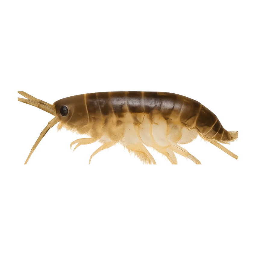
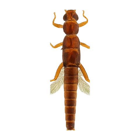
EPA freshwater monitoring on the Adrigole River confirms mayflies, stoneflies, caddis, aquatic diptera (blackfly and non-biting midges) and freshwater crustaceans such as hoglice are all present in the riverbed community. This is food-presence evidence from kick samples, not a confirmed hatch or rise pattern.

  • Old red sandstone
Water quality (WFD)
  • Ecology: Unknown
  • Chemical: Unknown
Why this score · for Atlantic Salmon
  • Temperature10030% weight
  • Flow6025% weight
  • Clarity9520% weight
  • Feeding Time6015% weight
  • Pressure8510% weight
Directions
Seasons & zones
  • Salmon _closed_2026 → _closed_2026Closed

Sea trout: Variable seasonal (2026)

Related guides
Casting instructors near here
Booking & contacts
At a glance

Adrigole River is a spate river in South West / Cork, Ireland. The catchment geology is recorded as old red sandstone, and the water sits at about 12 m above sea level. The river is described as roughly 12 km long. Species listed for this water: salmon and sea trout. It is classed as a salmon river. The salmon season is recorded as running from _closed_2026 to _closed_2026. Best window recorded for anglers: Closed to salmon and sea-trout angling in 2026. Nearby waters in our listings include Glenmore (Caherdaniel) at 8.0 km, River Glengarriff at 14 km and Cloonee Loughs at 14 km.