One of Ireland's finest salmon rivers — a large, mature Old Red Sandstone system running 160km through Cork and Waterford. The managed beats around Lismore offer some of the most civilised salmon fishing in the country. Four distinct runs define the year: spring salmon from February through April (late March onward is more realistic — February is often slow), a secondary run of fresh fish in May, grilse building from early May to a late June/early July peak, and backend sport through August into September. The Blackwater's great advantage is its tolerance of low water: the lower river is tidal for a considerable distance upstream, creating deep, slow pools where salmon hold even when flow is minimal. Where a smaller spate river would empty in drought, the Blackwater keeps fish in residence. A fresh rise helps enormously but the river does not need a flood to fish. The Lismore fishery publishes clear day-rod prices: February around €30, March €40, April €50, May €70–80, June €90–120 (peak grilse season), July €80–100, August €60–80. Spring fish respond to size 4–6 tubes (Collie Dog, Willie Gunn, Cascade) fished deep on a full intermediate or sink-tip. Lower river grilse fishing in low water can be excellent — size 10–12 doubles (Ally's Shrimp, Stoat's Tail) on floating lines across the pool tails. The Old Red Sandstone geology keeps water temperatures moderate (response 8 hours). Outstanding brown trout water with prolific mayfly and olive hatches April–September. Sea trout from June below Cappoquin. The Lismore fishery's beat-by-beat guide is unusually detailed — read it before you arrive. The river has multiple distinct fisheries operating along its 100+ mile course — Careysville, Lismore Castle, Fortwilliam, Blackwater Salmon Fishery, plus IFI and club waters in the upper river around Mallow, Banteer, and Killavullen. Each fishery has its own booking, season nuances and pricing — see regulation_zones for the major beats. Check the relevant fishery directly before travelling. Mandatory catch-and-release applies.
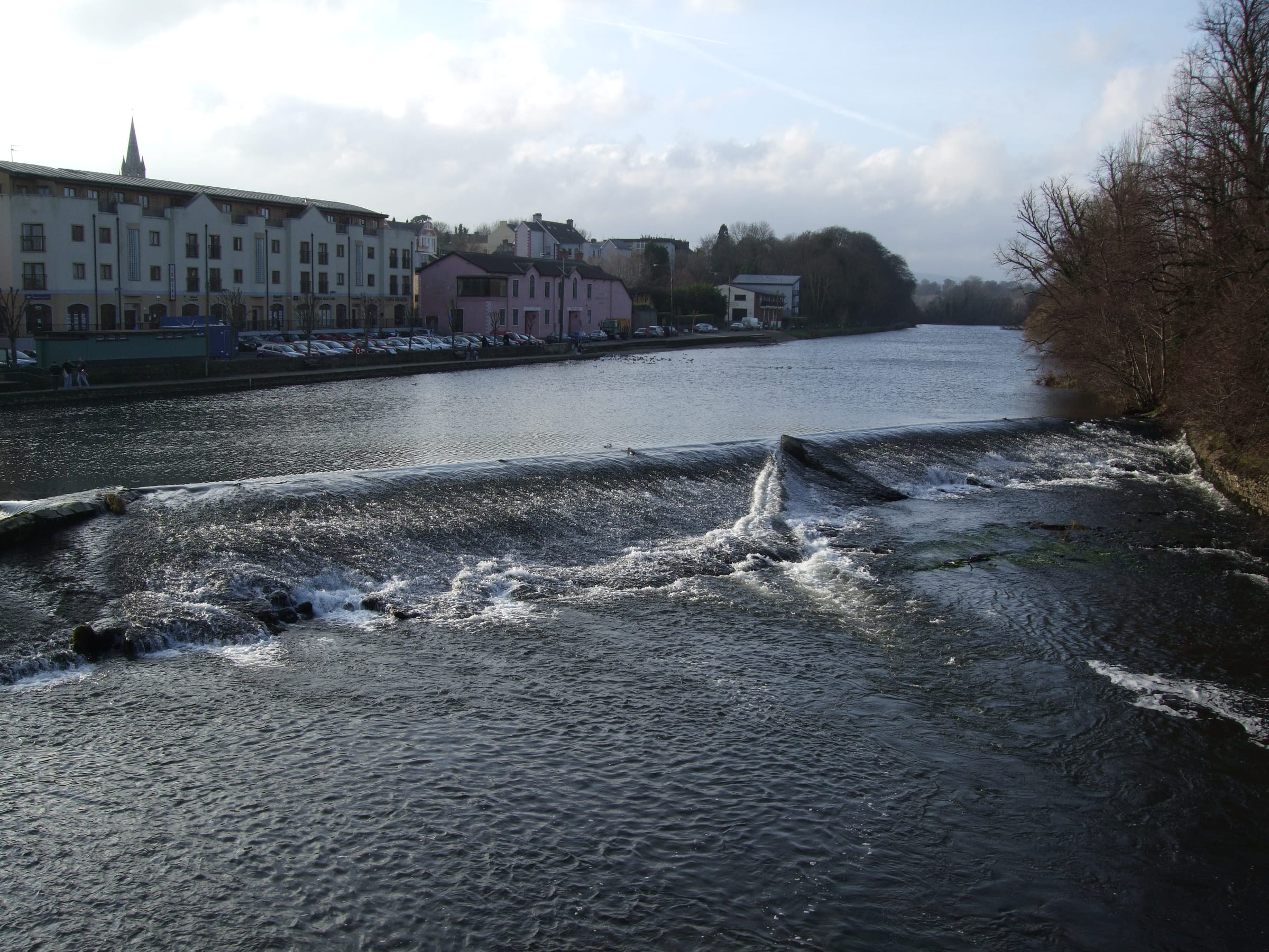
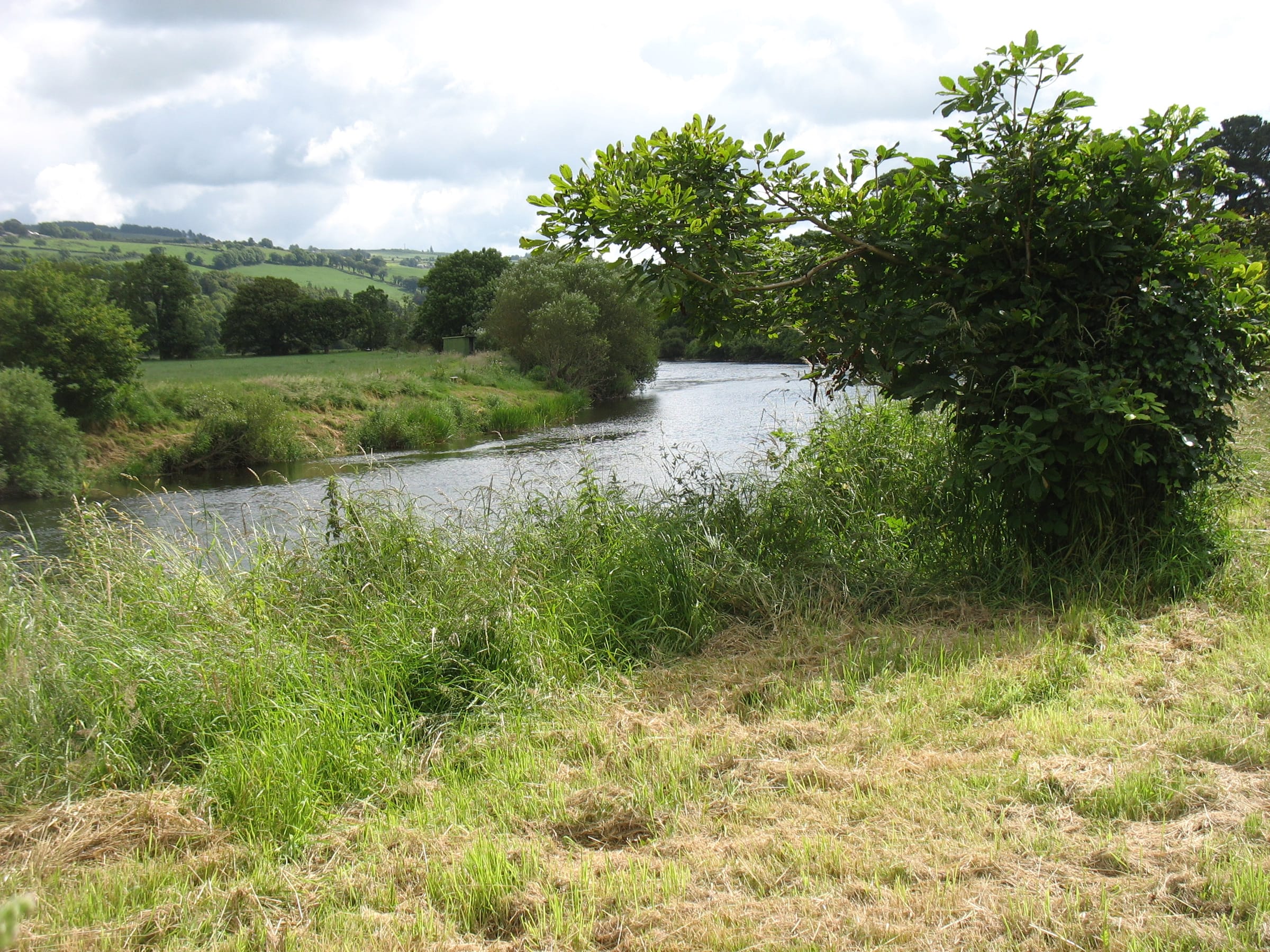
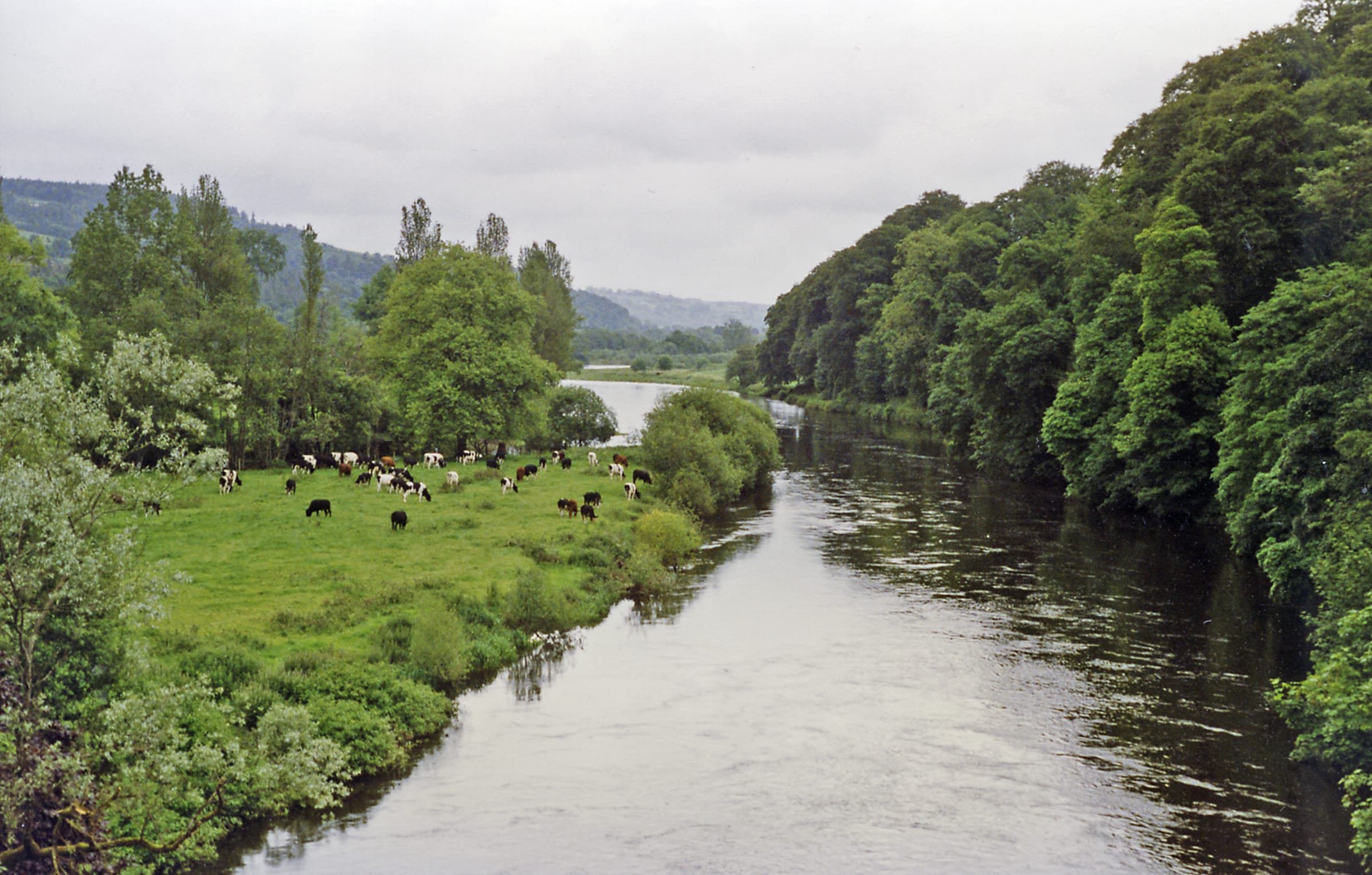
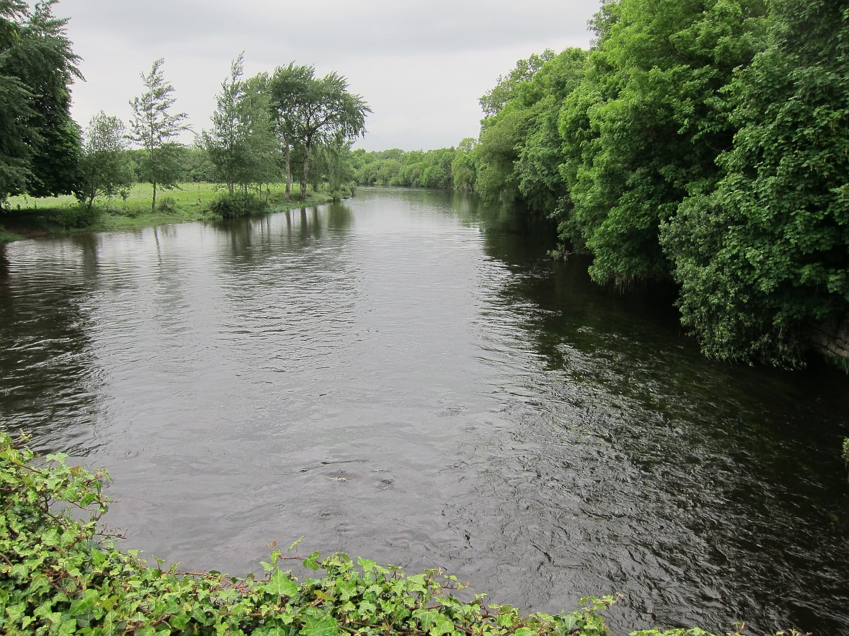
The Munster Blackwater is a 169 km mature river that rises in the Mullaghareirk Mountains at around 230 m and runs eastwards along the structural grain of the Munster Basin, hemmed on both sides by Old Red Sandstone ridges through Mallow, Fermoy and Lismore. The upper reaches are swift and rocky, but the river quickly settles into a long partly-confined pool-riffle and glide sequence on cobble, gravel and sandy flats. At Cappoquin the valley abruptly bends south and cuts through high sandstone ridges to reach the Celtic Sea at Youghal; this is also the tidal limit, and the lower river below Cappoquin is brackish for a considerable distance. Long-term mean discharge is near 89 m³/s, drained from a catchment of roughly 3,320 km² — the hydrograph is slow, broad and resistant to drought.
Wading: Tidal drown out below Cappoquin
- Old red sandstone
- Partly confined
- Pool riffle
- Glide
