
 Mayflies
 Caddisflies
 Damselflies & dragonflies
 Aquatic beetles
 Gammarids
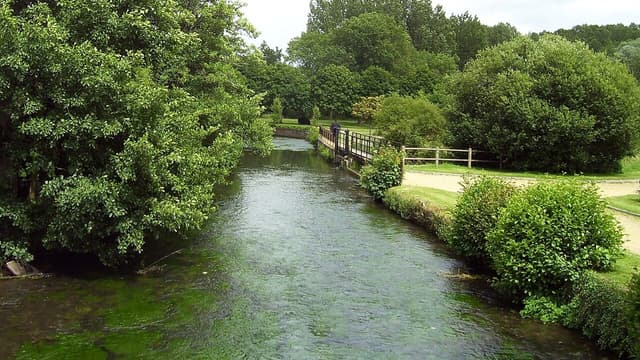
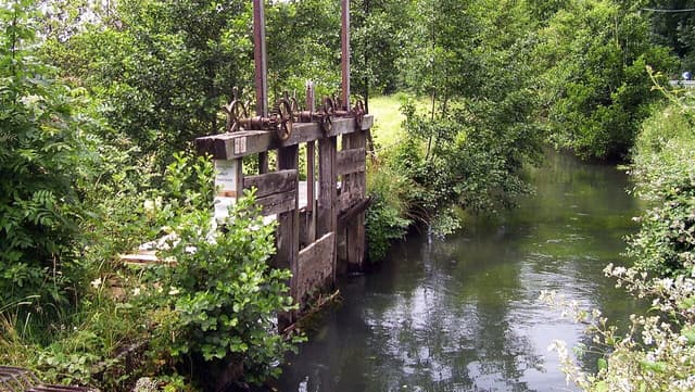
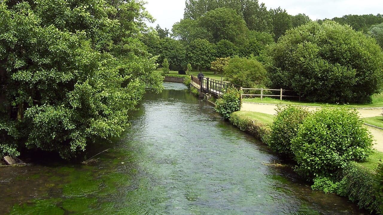
The Charentonne is the intimate one of the Normandy three. It rises above Saint-Évroult, runs some sixty kilometres through Broglie and Bernay, and joins the Risle at Serquigny — modest at the top, and better than fifteen metres across below Bernay once the Guiel and the Cosnier are in it. It carries varied current in a small width, which is precisely the condition that punishes a careless approach: the angler who walks the bank casting will move every fish in front of him. Work upstream, keep low, and cover found fish rather than water. A short line and a long leader serve better than distance. It fishes best in the settled weeks either side of the mayfly, when the water is low enough to show its lies. Its geology is the least clean-cut of the three — marl, clay and hard limestone in the upper basin, giving way to permeable Upper Cretaceous chalk further down, so the lower river is the more reliably chalk-fed. The association at Bernay keeps a fly-only reach of twelve hundred and forty metres at Ferrières-Saint-Hilaire, just upstream of the town.
- Chalk