

Tailwater · Mixed · Utah, US

Green River below Flaming Gorge Dam

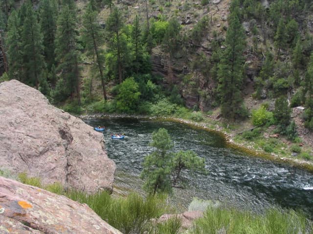
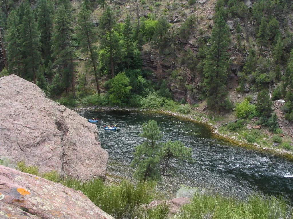
The Green River tailwater flowing through a pine-forested canyon below Flaming Gorge Dam, with rafters on the water.
Today · About as good as it gets
Czech Nymph
Forecast · Today
About as good as it gets
On the feed top to bottom — start on the rises with a dry, drop a nymph if they stay down.
90% projected
Today's fly
Czech Nymph
Czech Nymph
Conditions on the water · Today
Live gauge
Level
Falling
2.94 m
Dropping after lift
Water temp14.7°C
ClarityClearing
Weather8°C
WindN 14 km/h
Pressure1030 hPa
Rain · recent3.3 mm
Rain · ahead0.0 mm

The nearest gauge doesn't record temperatures, so we've estimated it — defer to the river keeper's advice.

Water temperature for Brown Trout
Ideal
15°C est.ideal 10–16°C
0°14°28°

A dam sets this river's temperature, not the weather, so it can shift several degrees within hours when the release changes. It also warms as it runs away from the dam.

How to fish it · for Brown Trout
When
Nymphing can work through most of the day.
Where
Cover mixed depths.
Method
Start with tight-line nymphs and adjust if fish rise or drift higher.
Kit
9 ft #4 rod, floating line, 12 ft tapered leader to 4–5 lb fluoro tippet.
Why this works
Excellent — conditions well-balanced, with water temperature particularly in your favour.
Likely species
Hatch timeline · todayPeak at 10 Uhr

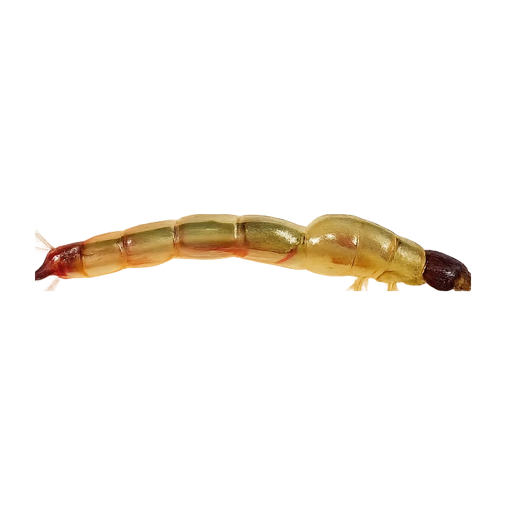
12 Uhr(now) — Black Midge

Stage: On emergersApproach: Emerger or dryActivity: 29%
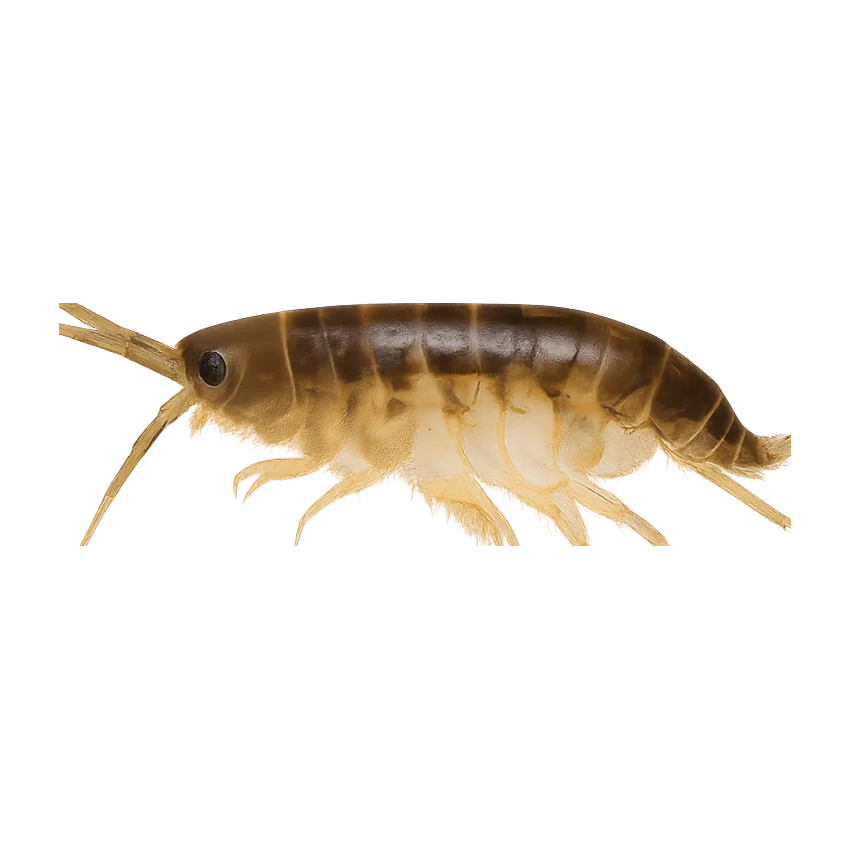
Also:Western Blue-Winged Olive29%
Peak emergence window5 food groups active

Peak activity at 10 Uhr — Black Midge (Black Midge, Peak emergence window)

Sub-surface · on the nymphunder the surface

Hatch predictions

Supporters see the full sub-surface read.

Start free trial

14-day free trial. Cancel anytime.

Beyond the hatch · worth watchingambient prey(1)

Hatch predictions

Top prey shown — see all 4 as a supporter.

Start free trial

14-day free trial. Cancel anytime.

Evidence
Records-basedModerate confidence

Based on species-occurrence records, not local invertebrate surveys.

Through the year
0–3 scale · October highlighted
J
F
M
A
M
J
J
A
S
O
N
D
Trout seasonSeason
1
2
2
2
2
2
2
2
2
2
2
1
Western Blue-Winged OliveHatch
2
3
3
3
3
3
3
3
2
Pale Morning DunHatch
2
3
3
2
TricoHatch
2
3
2
Black MidgeHatch
2
3
3
3
3
3
3
3
3
3
3
2

Numbers are intensity 0 (none) to 3 (peak) — a guide, not a guarantee.

Ranked for today
Fly box · Brown Trout
Beats · 5 · 4 reaches

The Green below Flaming Gorge isn't one fishery — it's organized by sections, not beats, and they fish like three different rivers. Section A runs from the dam down to Little Hole, Section B from Little Hole to Indian Crossing in Browns Park, and Section C from Indian Crossing toward the Utah–Colorado line. Almost all of it is public water fished on a Utah license, and by US standards it's unusually bookable and welcoming — but it's a controlled tailwater, and that's the catch. The Bureau of Reclamation sets the flow at the dam, and they change it for reasons that have nothing to do with your fishing: reservoir operations, endangered-fish recovery, drought response, even deliberate flow experiments. A flow that's a fine guide-boat float can be dangerous, swift, cold wading water, especially for a casual angler. Section A is the postcard and the easy walk-and-drift water; Sections B and C are more boat- and logistics-led, not casual wade reaches. Always check the current Reclamation release schedule, the UDWR guidebook, and local launch and safety conditions before you go.

Flaming Gorge Dam outlet & Dutch JohnPublic
The top of the tailwater and the service hub for the whole river.
Section A — Dam to Little Hole · 2 beatsDay rods
Section A — Dam to Little Hole, Little Hole access & boat launch
The 2 beats
Section A — Dam to Little HolePublic
Ashley National Forest / Utah DWR (public water)
The flagship reach and the postcard — the famous seven-mile run from the dam down to Little Hole, with water so clear and so full of trout that the fishing looks unfair until you actually try to fool one. It fishes two ways: walk-and-wade off the Little Hole Trail along the north bank, or drift the float with a boat. High fish density, high pressure, and trout that have seen every fly in the bin.
From Flaming Gorge Dam to the Colorado state line the trout rule is artificial flies and lures only, with a slot-style harvest limit — do not assume pure catch-and-release just because most fly anglers release here. Fishing from a motorized boat is restricted on this reach. It's a tailwater: a good drift flow can be a dangerous wading flow, so match your plan to the day's release. Verify the exact 2026 tackle, slot, and boat rules against the UDWR guidebook.
Little Hole access & boat launchPublic
Ashley National Forest
The key access hub and take-out at the bottom of Section A — three boat ramps, restrooms, shaded picnic areas, and accessible fishing infrastructure, plus the start of the seven-mile Little Hole Trail running back up to the dam. This is the most family-friendly, easiest-on, easiest-off point on the whole river, and the natural place to launch a Section A drift or walk in for a wade.
Same artificial-flies-and-lures-only rule and slot limit as the rest of Section A. The trail along the north bank allows fishing access but no camping, fires, or horse use on that seven-mile stretch. Busy in season — crowding at the ramps and the obvious runs is a real factor.
Section B — Little Hole to Indian CrossingPublic
The quieter, more remote middle reach down through the Browns Park corridor to Indian Crossing.
Section C — Browns Park to the state linePublic
The lowest and wildest reach, running slower and longer from Indian Crossing toward the Utah–Colorado line through the Browns Park wildlife country.
Permits & access
Permit required — see local rules.
  • Open all year
  • The Green is a special-regulation water — verify current tackle and limit rules against the UDWR 2026 Fishing Guidebook before relying on them
  • Flow is set by Flaming Gorge releases (Bureau of Reclamation); a cfs number alone isn't the whole story — watch the release trend and ramping.
What's coming
Plan ahead
5-day outlook
Gallery · 3
  1. The Green River tailwater flowing through a pine-forested canyon below Flaming Gorge Dam, with rafters on the water.
    Rafts drift the tailwater of the Green River below Flaming Gorge Dam, Utah.
  2. Venue photo
  3. Terrain map of the venue
    Terrain map
Water quality · US Clean Water Act
  • Aquatic life: Supporting
What this classification means

EPA ATTAINS assessment unit 'Green River-1' (UT14040106-019_00), 2024 Integrated Report. Aquatic Life use: Fully Supporting. This is a Clean Water Act assessment-unit classification (the US analogue of WFD), not a live reading.

Status is for the Clean Water Act assessment unit covering this reach.

EPA ATTAINS (Clean Water Act) · UT14040106-019_00

The full read · show the working · for Brown Trout · confidence 90%
How the 89 is built — score × weight = contribution
Temperature98 × 28%27.4
Flow95 × 22%20.9
Clarity95 × 18%17.1
Feeding Time80 × 13%10.4
Pressure80 × 7%5.6
Insect activity66 × 12%7.9
Conditions total= 89
Can you trust it?
Water temperaturelive gauge readinggauge
Level / flowon-river gaugeobserved
Prey activitymodelled from regional profilemodelled
Directions
Seasons & zones
  • Trout 1 January → 31 December
Related guides
Booking & contacts