Limestone · West / Connacht, IE

Lough Mask

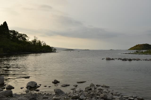
View south across the full expanse of Lough Mask from the western shore, distant southern hills.

Connected to Corrib below the surface by limestone channels no boat will ever follow, and entirely its own water above it.

Closed season · Trout
Perch Fry · 8–10 long shank
Closed season
Season reopens 15 February. Try elsewhere.
Closed — confidence not applicable today.
What moved it
  • WindS 26 km/hModerate breeze · Gusts to 39 km/h
Today's fly
Perch Fry
Perch Fry8–10 long shank
Retrieve
Conditions on the water
Estimate
Wind
Moderate breeze · Gusts to 39 km/h
S 26 km/h
N
S
from the south
Wave40 cm chop
Water temp8.3°C
Air temp9°C
CloudOvercast
Pressure1006 hPa
Rain · recent0.0 mm

No gauge on this water — readings are regional estimates from weather, not a live gauge.

How to fish it · for Trout
When
Mayfly into Green Peter from the third week of May through mid-June — a six-week peak. Daytime through the hatch with a good wave; evenings warm and calm for the sedge fall.
Where
Partry shore and Cushlough Bay are the named drifts. Rocky points, bay margins, and the shallower limestone shelves where food concentrates. Stay off the deep open basin — the trout aren't there.
Method
Drift broadside in a good wave across rocky points and bay margins. Team of three wets early — Bibio on the bob, Fiery Brown on the point. Switch to spent drake during mayfly.
Kit
10 to 11 ft #6 boat rod, floating line, 6 to 8 lb fluoro. Drogue for the big lanes — Mask is exposed and the wind builds. Long-handled net.
The plan
Plan A

Work Perch Fry on the bob and Minkie on the point.

Plan B

If the main plan is not working, switch to a smaller, more imitative pattern fished slower and deeper. A change of drift angle can also make a difference.

Watch for

Keep an eye on changing conditions — wind shifts and cloud breaks can trigger short feeding spells.

Boat — at anchor

Windy conditions suit anchoring in productive areas rather than open-water drifting.

Sub-surface · on the nymphunder the surface

Hatch predictions

Top nymph shown — see all 2 guilds as a supporter.

Start free trial

14-day free trial. Cancel anytime.

Beyond the hatch · worth watchingambient prey(1)

Hatch predictions

Top prey shown — see all 4 as a supporter.

Start free trial

14-day free trial. Cancel anytime.

Through the year
0–3 scale · November highlighted
J
F
M
A
M
J
J
A
S
O
N
D
Trout seasonSeason
1
2
2
2
2
2
2
1
Green PeterHatch
2
3
2
Murrough (Great Red Sedge)Hatch
2
3
2
DuckflyHatch
2
2
Mayfly (Green Drake)Hatch
2
2

Numbers are intensity 0 (none) to 3 (peak) — a guide, not a guarantee.

Buzzer team todayfor the conditions now
Point
Black buzzer, orange thorax
Not in this water's box
#10
How to fish it
Intermediate line · let the breeze drift the team, then hang it 15–30 s

Fly recommendations

Point fly shown — supporters see the whole team, sizes and why.

Start free trial

14-day free trial. Cancel anytime.

Ranked for today
Trout fly box
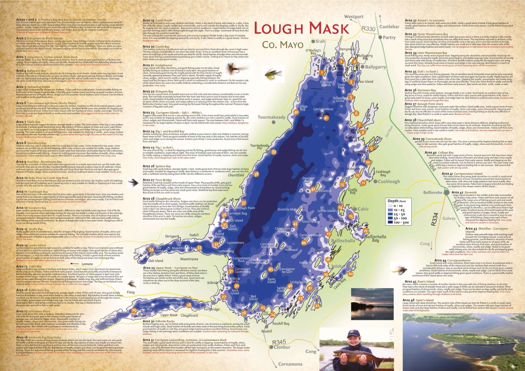
Lough Mask Fishing Map
Click to expand

Lough Mask Map

Tap to view full map

Fishery map — attribution pending

Permits & access
Free state water
State rod licence required for trout / salmon as applicable.
  • No permit needed — state rod licence only
  • Boats from Ballinrobe, Tourmakeady, Cushlough
  • A guide who knows how to handle the boat and where to look for fish is worth every penny — the vast lough has moods and hazards that locals know.
What's coming
Plan ahead
5-day outlook
Condition match
51%
Cloud70%
Wind30%
Temp60%

A reasonable day here, though wind isn't quite in the sweet spot.

Other water nearby · 5
Gallery · 6
  1. View south across the full expanse of Lough Mask from the western shore, distant southern hills.
    Lough Mask from the west shore
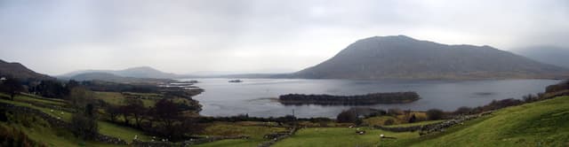
  2. Wide panoramic view of Lough Mask showing open water across the southern basin.
    Lough Mask panorama
  3. Rocky shoreline of White Island on Lough Mask at evening, calm water reflecting sunset light.
    Lough Mask evening
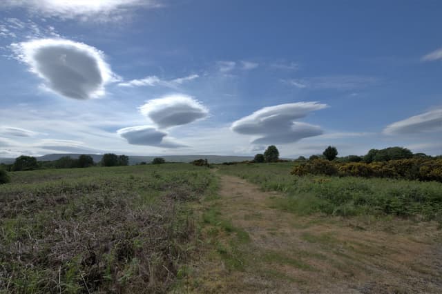
  4. Dramatic lenticular clouds above Lough Mask with the lough surface below.
    Lenticular clouds over Lough Mask
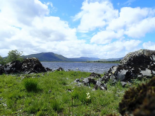
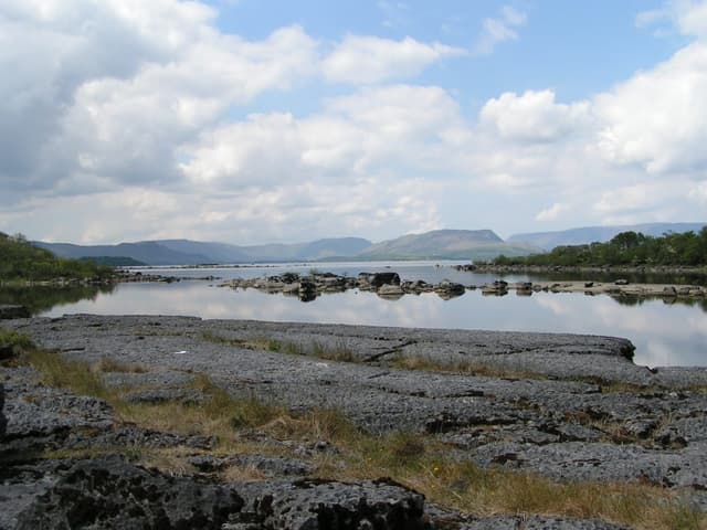
  5. Open water of Lough Mask looking west-southwest from the eastern shore.
    Lough Mask
  6. Terrain map of the venue
    Terrain map
About this water

Mask runs deeper and lies more exposed than its neighbour, which asks a measure of respect from anyone handling a boat on it, and the mayfly and olive hatches are as good as anywhere in the west. Ferox hold in the deep water, and plenty who fish both loughs rate Mask's trout the larger on average — when the conditions come together, which they don't always, the fishing can be as good as Irish lough fishing gets. Dapping earns its keep whenever the breeze allows it. As with Corrib, a boatman who knows the water is worth having rather than doing without; this is not water to learn the hard way.

Hatches & food

Named among the western limestone loughs for duckfly from around 17 March for about three weeks, lake olives from late April to early May, and a mayfly period from after the first week of May into early June - regional guidance rather than a measured hatch on Mask itself. The same source places Caenis at first light and sedges late in the evening through the summer months.

Surface area
78.0 km² (19,267 acres)
Mean depth
15 m (49 ft)
Area: EPA Ireland (CC BY 4.0). Mean depth: Mayo County Council.
  • Lough system
  • Limestone
Water quality (WFD)
  • Ecology: Good
  • Chemical: Unknown
What this classification means

WFD code normalized 2026-06-18: IE_WE_30_665a → IEWE_30_665A (EPA national format → EEA WISE euSurfaceWaterBodyCode; same water body, now joinable to WISE). Status confirmed against EEA WISE 2022 (3rd RBMP). Source: discodata.eea.europa.eu. | Prior note: EPA WFD 2019-2024 (lake layer) — Lough Mask: Good ecological status. Re-tagged 2026-06-18 from IEWE_30C060300 (a river/stream water body, not the lough) to the lough's own EPA lake water body. Source: EPA Ireland WFD 2019-2024 classification (catchments.ie / EDEN).

EPA (Ireland) · IEWE_30_665A

Why this score
  • Wind conditions (windy) are not ideal for this water.
Directions
Seasons & zones
  • Trout 15 February → 30 September
Related guides
Casting instructors near here
Booking & contacts
At a glance

Lough Mask is a limestone river in West / Connacht, Ireland. Its recorded elevation is about 86 m above sea level and the catchment geology is limestone. The river is described as roughly 20 km long. The species listed for this water is brown trout. The trout season is recorded as running from 15 February to 30 September. Best window recorded for anglers: March–September; mayfly peak mid-May to mid-June. Core methods listed: loch-style wet fly drift from boat; dry fly during mayfly and sedge hatches; deep drifting with team of wets in early season. Level and flow data for this water is linked from 1 gauge. Its Water Framework Directive ecological status is recorded as good. Access is recorded as a lough where no permit is required. Boat fishing is recorded as available. Nearby waters in our listings include Lough Carra at 8.0 km, Ballin Lough (Westport) at 25 km and Redman's Lough at 37 km.