Freestone · Limestone · Pyrénées-Atlantiques / Vallée d'Aspe, FR

Gave d'Aspe

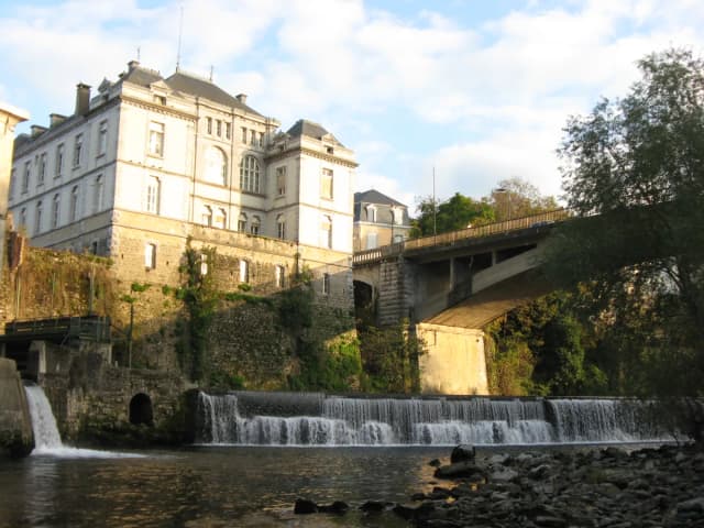
Photo of Gave d'Aspe

The Aspe valley sits in western Béarn where limestone keeps the water clear and the mountains feel close enough to touch.

Poor · Brown Trout
Pheasant Tail Nymph · 14–18
Closed season
Out of season. Try elsewhere.
Closed — confidence not applicable today.
What moved it
  • Level0.01 mLast reading 6h ago
  • Water temp11.4°C
  • ClarityClear
Today's fly
Pheasant Tail Nymph
Pheasant Tail Nymph14–18
Upstream
Conditions on the water
Live gauge
Level
Steady
0.01 m
Last reading 6h ago
Water temp11.4°C
ClarityClear
Weather11°C
WindS 9 km/h
Pressure1011 hPa
Rain · recent16.0 mm
Rain · ahead14.0 mm

The nearest gauge doesn't record temperatures, so we've estimated it — defer to the river keeper's advice.

Water temperature for Brown Trout
Ideal
11°C est.ideal 10–16°C
0°14°28°
How to fish it · for Brown Trout
When
Through the open trout season. Late spring through autumn — Aspe valley is high mountain water that fishes best once the snowmelt has dropped.
Where
Pool tails and pocket water through the Aspe valley. High alpine character — clear water, fast pockets, careful approach.
Method
Upstream dry to risers; nymph the deeper pockets between hatches. The Aspe is intimate — short casts and quiet wading.
Kit
9 ft #4 — French freestone default. Floating line, 12 ft leader to 4 to 5 lb fluoro. Studded boots.
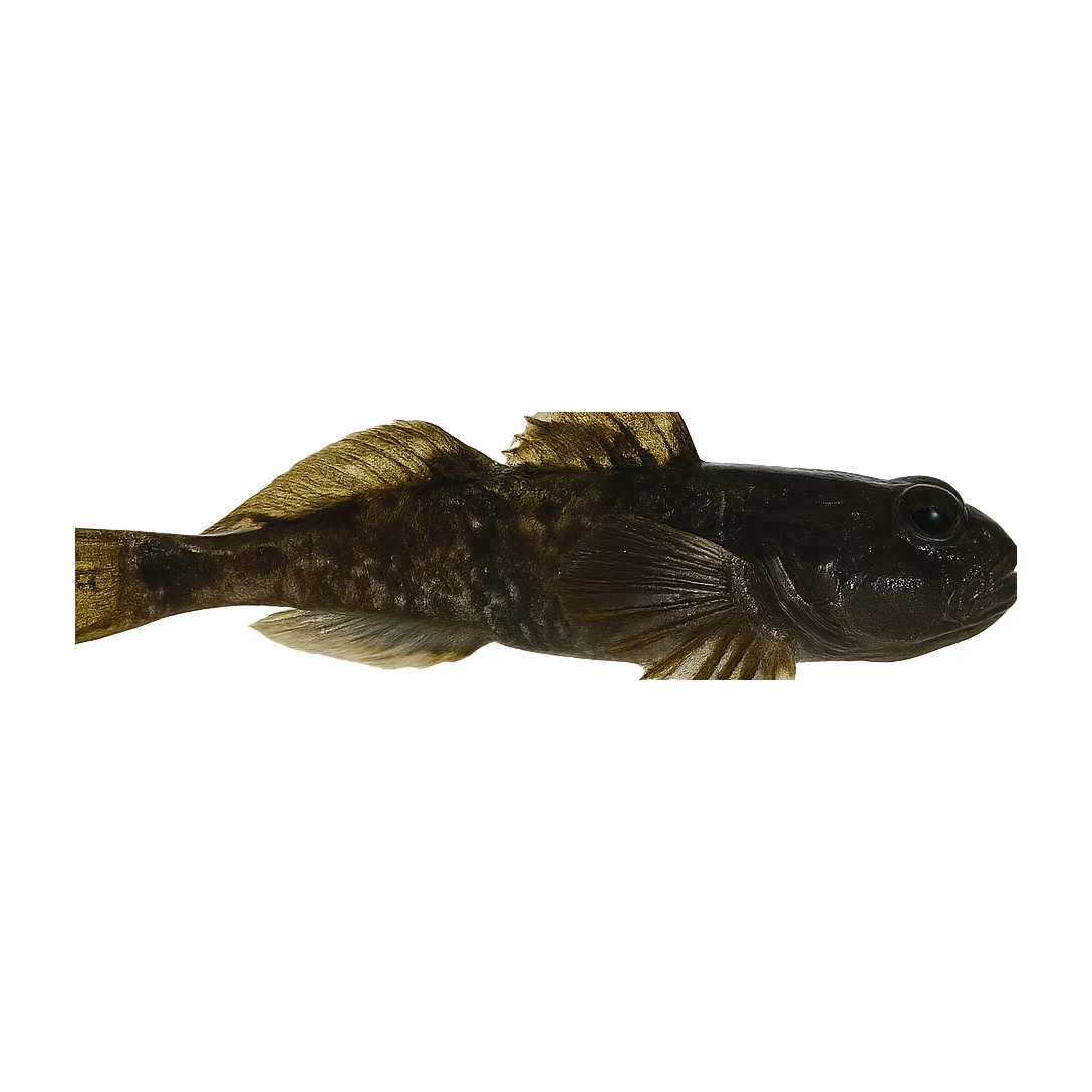
Likely species
Hatch timeline · todayQuiet day

Hatch predictions

Today's headline hatch shown — see all 4 active hatches hour by hour as a supporter.

Start free trial

14-day free trial. Cancel anytime.

Sub-surface · on the nymphunder the surface

Hatch predictions

Top nymph shown — see all 4 guilds as a supporter.

Start free trial

14-day free trial. Cancel anytime.

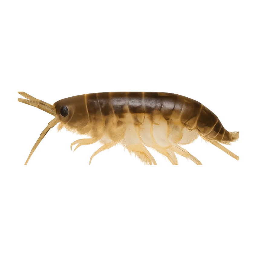
Beyond the hatch · worth watchingambient prey(1)

Hatch predictions

Supporters see what else is on the menu.

Start free trial

14-day free trial. Cancel anytime.

Evidence
Survey-backed · regionalHigh confidence

Backed by regional invertebrate surveys; no sampling on this exact reach yet.

Through the year
0–3 scale · November highlighted
J
F
M
A
M
J
J
A
S
O
N
D
Trout seasonSeason
1
2
2
2
2
2
1
Grayling seasonSeason
1
2
2
2
1
Alpine RhithrogenaHatch
2
3
3
2
Sculpin / Baitfish (Rivers)Hatch
2
3
3
3
3
3
3
3
2
March BrownHatch
2
3
2
Late March BrownHatch
2
3
2

Numbers are intensity 0 (none) to 3 (peak) — a guide, not a guarantee.

Ranked for today
Brown Trout fly box

More balanced than the mountain-river pack. French nymphing still matters, but there is more room for dries, spiders and general searching flies.

Permits & access
Permit required — see local rules.
  • AAPPMA permits
  • Catch-and-release encouraged on parcours.
What's coming
Plan ahead
5-day outlook
Other water nearby · 5
Gallery · 2
  1. Photo of Gave d'Aspe
    Gave d'Aspe
  2. Terrain map of the venue
    Terrain map
About this water

The Gave d'Aspe joins the Gave d'Ossau at Oloron to form the main Gave, but on its own it's a proper wild-trout river — cold, limestone-buffered, selective in the way limestone water always is. Wild brown trout and a useful run of grayling share the middle and lower reaches; the upper valley thins out into classical mountain water where the fish are smaller but willing. Match the olive in spring, work caddis through summer, and fish the evening rise properly when the hatches come off. Limestone springs maintain summer flow better than most Pyrenean rivers, which extends the prime window. The AAPPMA manages multiple no-kill reaches — check the current arrêté because the boundaries shift year on year.

Hatches & food

Included in the same Oloron-basin regional account of early-afternoon surface activity around the March opening as the other named gaves — regional guidance rather than a confirmed local hatch.

  • Limestone
Water quality (WFD)
  • Ecology: High
  • Chemical: Unknown
What this classification means

WFD ecological status Good → High corrected to EEA WISE 2022 (3rd RBMP) classification for waterbody FRFR441 (was a stale earlier-cycle value). Source: EEA WISE SWB_SurfaceWaterBody (discodata.eea.europa.eu), verified 2026-06-18.

WFD classification · FRFR441

The full read · show the working · for Brown Trout · confidence 75%
How the 0 is built — score × weight = contribution
Temperature100 × 28%28.0
Flow80 × 22%17.6
Clarity95 × 18%17.1
Feeding Time40 × 13%5.2
Pressure80 × 7%5.6
Insect activity60 × 12%7.2
Conditions total= 81
Can you trust it?
Water temperatureair-to-water estimateestimated
Level / flowon-river gaugeobserved
Prey activitysurvey-backed invertebrate datasurvey
What would change the calculation
The dawn and dusk windows score higher than the midday lull.
Directions
Seasons & zones
  • Trout 2nd Saturday of March → 3rd Sunday of September
  • Grayling 3rd Saturday of May → 3rd Sunday of September

    France national rule: grayling opens 3rd Saturday of May in all waters. In 1st category (salmonid) rivers, grayling closes with the trout season on the 3rd Sunday of September. Departmental regulations may impose additional restrictions. Always check the relevant département's 2026 arrêté préfectoral.

Related guides
Booking & contacts
At a glance

Gave d'Aspe is a freestone river in Pyrénées-Atlantiques / Vallée d'Aspe, France. The catchment geology is recorded as limestone, and the water sits at about 403 m above sea level. The river is described as roughly 62 km long. Species listed for this water: brown trout and grayling. The trout season is recorded as running from 2nd Saturday of March to 3rd Sunday of September. The grayling season is recorded as running from 3rd Saturday of May to 3rd Sunday of September. Best window recorded for anglers: March–September. Core methods listed: Nymphing; dry fly. Level and flow data for this water is linked from 1 gauge. Its recorded parent river is the Gave Oloron. Its Water Framework Directive ecological status is recorded as high. Access is recorded as day tickets through the local AAPPMA (angling association). Nearby waters in our listings include Gave d'Ossau at 16 km, Gave d'Oloron at 20 km and Pyrenean Ibones (high-mountain lakes) at 22 km.