Freestone · Volcanic · Suðurland

West Rangá

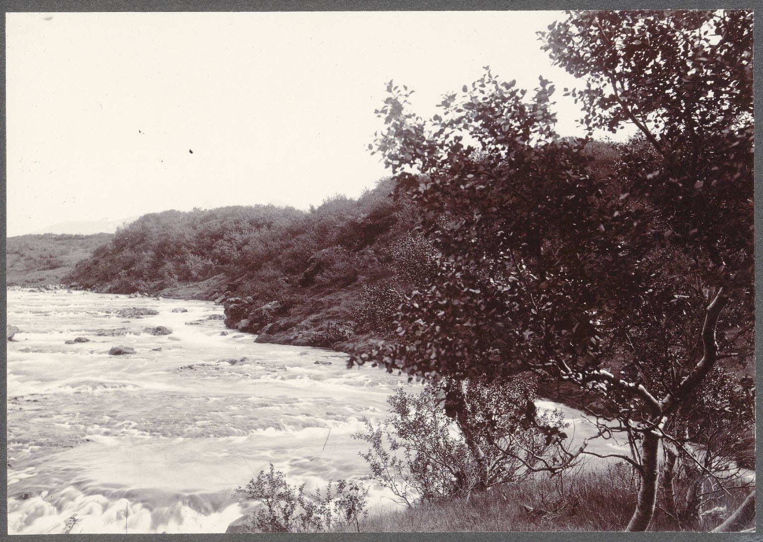
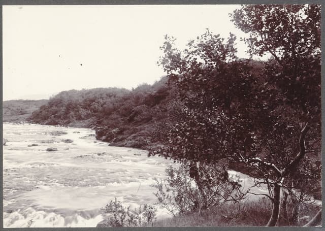
Historical photograph of the Ytri-Rangá near Hekla volcano, Iceland, circa 1900.

One of Iceland's most productive salmon rivers, famous for strong runs, multiple beats, and reliable summer fishing.

Good · Atlantic Salmon
Green Butt · 12-16 doubles
Goodlive now
A good day — worth the effort
Low and clear — careful approach country. Small, sparse flies, long leader, careful approach.
50% confidence
What moved it
  • LevelLight rain recentlyNo gauge reading
  • Water temp11.0°C
  • ClarityClear
Today's fly
Green Butt
Green Butt12-16 doubles
Iceland's most universal salmon pattern. Start here on any river.
Conditions on the water
Estimate
Level
Light rain recently
No gauge reading
Water temp11.0°C
ClarityClear
Weather9°C
WindN 12 km/h
Pressure1001 hPa
Rain · recent3.4 mm
Rain · ahead0.0 mm

No gauge on this water — readings are regional estimates from weather, not a live gauge.

Water temperature for Atlantic Salmon
Ideal
11°C est.ideal 1014°C
0°14°28°
How to fish it · for Atlantic Salmon
When
Morning into early afternoon.
Where
Pool tails, steadier runs, and any water with pace.
Method
Fish a sensible line-and-fly combination for the height and pace of water.
Kit
13 ft #8/9 double-hander in spate, 10 ft #8 single in low water. Floating line plus a fast-sink tip. 12–15 lb fluoro tippet.
Why this works
Good — water temperature is working for you, but time of day is the limiting factor today.
Hatch timeline · todayQuiet day

Hatch predictions

Today's headline hatch shown — see all 2 active hatches hour by hour with Pro.

Start free trial

14-day free trial. Cancel anytime.

Sub-surface · on the nymphunder the surface

Hatch predictions

Top nymph shown — see all 2 guilds with Pro.

Start free trial

14-day free trial. Cancel anytime.

Beyond the hatch · worth watchingambient prey

Hatch predictions

See what else is on the menu with Pro.

Start free trial

14-day free trial. Cancel anytime.

Evidence
ModelledModerate confidence

Modelled from regional ecology — no survey or occurrence data for this water yet.

Salmon run timing
2024 season

Through the year
0–3 scale · July highlighted
J
F
M
A
M
J
J
A
S
O
N
D
Salmon runRun
1
2
2
2
1
GrannomHatch
2
2
Evening SedgeHatch
2
3
3
3
2
Large Dark OliveHatch
1
2
2
1
Iron BlueHatch
1
2
2
1

Numbers are intensity 0 (none) to 3 (peak) — a guide, not a guarantee.

Ranked for today
Atlantic Salmon fly box
Permits & access
Permit required — see local rules.
  • River-specific booking, beat allocation, and catch rules apply
  • Treat West Rangá as premium booked salmon water and check the current operator conditions before fishing.
What's coming
Plan ahead
5-day outlook
Other water nearby · 5
Gallery · 2
  1. Historical photograph of the Ytri-Rangá near Hekla volcano, Iceland, circa 1900.
    Ytri-Rangá near Hekla, c.1900
  2. Terrain map of the venue
    Terrain map
About this water

One of Iceland's most productive salmon rivers, famous for strong runs, multiple beats, and reliable summer fishing. A practical premium salmon venue in south Iceland rather than a tiny ultra-exclusive river, with broad appeal for visiting anglers. Volcanic bedrock underlies this river. Iceland's salmon are managed conservatively under operator and national rules — quotas, size limits and catch-and-release are widely applied; check the river's rules before fishing.

Under the surface

The Ytri-Rangá is a lowland spring-fed river — geomorphologically very unusual. It rises at Rangárbotnar, about 200 m above sea level on the lava fields north of Hekla, where water emerges in multiple springs from beneath porous postglacial basalt flows and stays stubbornly clear because the lava aquifer filters the runoff. Over its 55 km the river runs through volcanic-sand and basalt-cobble substrate, the bed reworked by mobile dark sand that gives it a distinctly non-alluvial character: this is not a gravel-bed pool-riffle reach but a broadly sinuous channel (the name Rangá literally means winding river) with shallower, more uniform runs, punctuated by four named bedrock steps — Fossabrekkur, Gutlfoss, Árbæjarfoss and Ægissíðufoss. The Þverá joins roughly 10 km below Hella and the combined water becomes the Hólsá. Wading is broadly easy on firm cobble, but loose volcanic sand near inside bends can engulf a boot unexpectedly.

Wading: Loose volcanic sand on inside bends

  • River
  • Volcanic
  • Unconfined
  • Run
  • Glide
Why this score · for Atlantic Salmon
  • Temperature10030% weight
  • Flow6025% weight
  • Clarity9520% weight
  • Feeding Time1015% weight
  • Pressure8510% weight
Directions
Seasons & zones
  • Salmon June6 October
Related guides
Booking & contacts