
Spate · Carboniferous Coal Measures · South Wales Valleys (Rhondda Fawr & Fach, Taff tributary)

Rhondda

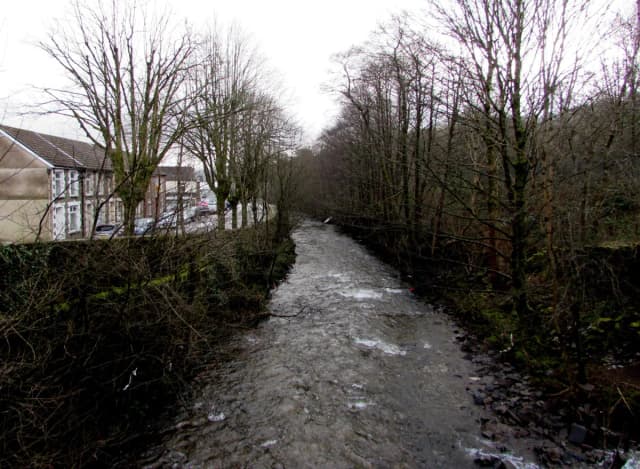
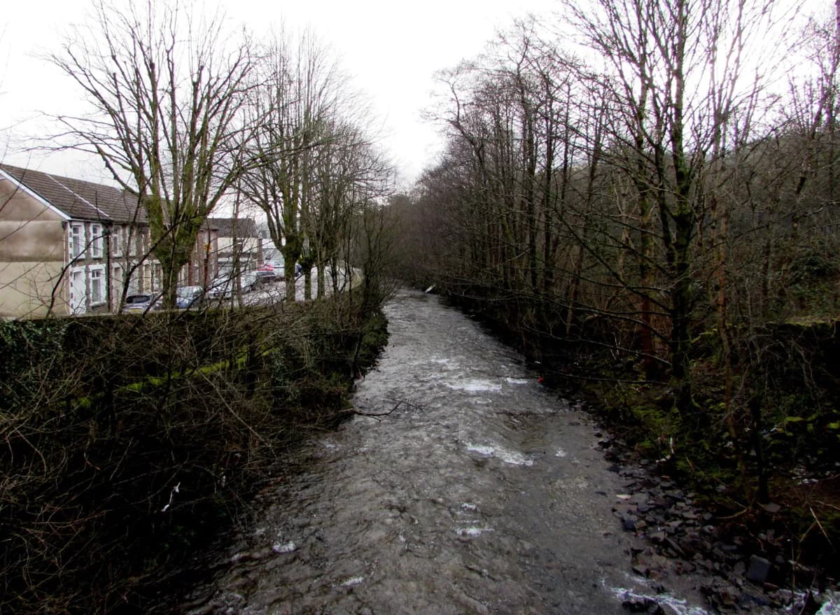
A fast-flowing stretch of the Rhondda River lined with trees and terraced houses in the Rhondda Valley.
Contributor photo

Downstream along the Rhondda River, Treorchy

Jaggery - CC BY-SA 2.0

The archetypal Welsh coal valley river — two branches, Rhondda Fawr and Fach, meeting at Porth before joining the Taff at Pontypridd.

Poor · Atlantic Salmon
Poorlive now
Slow going — better windows ahead
Low and clear — careful approach country. Stale fish in low clear water spook easily — pick your hour.
90% confidence
What moved it
  • LevelDry recentlyNo gauge reading
  • Water temp22.2°C
  • ClarityClear
Conditions on the water
Estimate
Level
Dry recently
No gauge reading
Water temp22.2°C
ClarityClear
Weather28°C
WindSW 9 km/h
Pressure1017 hPa
Rain · recent0.0 mm
Rain · ahead0.0 mm

No gauge on this water — readings are regional estimates from weather, not a live gauge.

Water temperature for atlantic salmon
Welfare risk
22°C est.ideal 1014°C
0°14°28°
How to fish it · for atlantic salmon
When
Morning into early afternoon.
Where
Pool tails, steadier runs, and any water with pace.
Method
Fish a sensible line-and-fly combination for the height and pace of water.
Kit
13 ft #8/9 double-hander in spate, 10 ft #8 single in low water. Floating line plus a fast-sink tip. 12–15 lb fluoro tippet.
Why this works
⛔ Water at 22.2°C. This is the line where catch-and-release kills atlantic salmon. Do not fish for them today.
Hatch timeline · todayQuiet day

Hatch predictions

Today's headline hatch shown — see all 3 active hatches hour by hour with Pro.

Start free trial

14-day free trial. Cancel anytime.

Through the year
0–3 scale · July highlighted
J
F
M
A
M
J
J
A
S
O
N
D
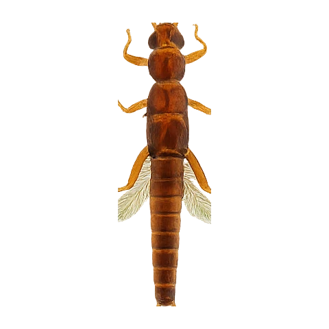
Daddy Long LegsHatch
2
3
2
March BrownHatch
2
3
2
GrannomHatch
2
2
Large StoneflyHatch
2
3
2

Numbers are intensity 0 (none) to 3 (peak) — a guide, not a guarantee.

Beats · 3 · 1 reaches

Osprey Fly Fishers cover the lower, grayling-holding river toward Pontypridd; Upper Rhondda AA covers the source end near Llyn Fawr. A long-standing middle stretch (formerly Glyncornel AA) is currently free to fish on just a rod licence after that club folded.

Rhondda day-ticket water · 3 beatsDay rods
Osprey Fly Fishers' Association, Upper Rhondda Angling Association, Former Glyncornel AA water — now free fishing
The 3 beats
Osprey Fly Fishers' AssociationDay tickets
Osprey Fly Fishers' Association
Lower river, from the Taff junction up to Trehafod footbridge — the stretch closest to Pontypridd, and where grayling are genuinely present (the Grayling Society's own guide names Osprey's Taff/Rhondda/Cynon water specifically). Occasional late-season salmon.
Day ticket £10; full river permit £65 (covers Taff, Rhondda, Cynon, Usk, and Brecon Beacons reservoirs). Grayling season 1 Oct–28 Feb on this club's Taff/Rhondda/Cynon water.
Upper Rhondda Angling AssociationDay tickets
Upper Rhondda Angling Association
Upper river near the source, adjoining Llyn Fawr reservoir — fished by this club since 1957.
Day/season ticket, contact club for current details.
Former Glyncornel AA water — now free fishingPublic
No current controller — free to rod-licence holders
Roughly 12-15 miles from Bwlch Mountain above Cwmparc down through Treorchy to Trehafod — historically Glyncornel Angling Association's water, described as strong trout fishing with 4lb+ fish not uncommon. Glyncornel folded around 2024; the council hasn't re-leased the fishing rights, so this stretch is currently free to fish with just a rod licence rather than gated behind a club permit. Worth a phone check (01443 432289) before relying on this, since the status could change.
Free — NRW/EA rod licence only, no separate permit as of 2026. Trout season 3 March-30 September.
What's coming
Plan ahead
5-day outlook
Cooler water nearby · 1
Probably above the atlantic salmon safety line — these are likely cooler, but carry a thermometer.
Gallery · 2
  1. A fast-flowing stretch of the Rhondda River lined with trees and terraced houses in the Rhondda Valley.
    Downstream along the Rhondda River, Treorchy
  2. Terrain map of the venue
    Terrain map
About this water

The archetypal Welsh coal valley river — two branches, Rhondda Fawr and Fach, meeting at Porth before joining the Taff at Pontypridd. Coal extraction peaked here at 9.5 million tonnes a year in 1913; the last colliery (Maerdy) closed in 1990. NRW's own Water Framework Directive data tracks the recovery precisely: the Fawr has gone Poor-Poor-Good across three assessment cycles, the Fach Poor-Poor-Moderate — a genuine, still-improving 'phoenix river' story, not a finished one. Grayling are present but geographically limited to the lower river near the Taff confluence; further up the valley it's wild brown trout only.

  • Carboniferous coal measures
Why this score · for atlantic salmon
  • Temperature030% weight
  • Flow4525% weight
  • Clarity9520% weight
  • Feeding Time5015% weight
  • Pressure8510% weight
Related guides
Booking & contacts