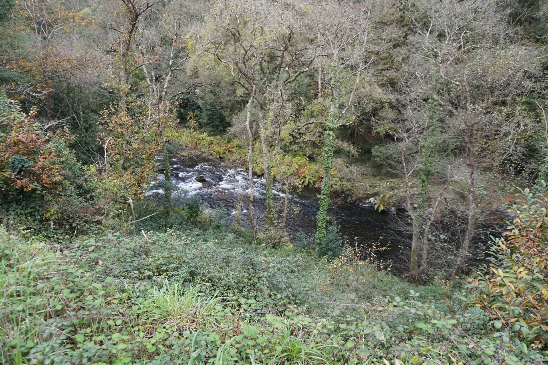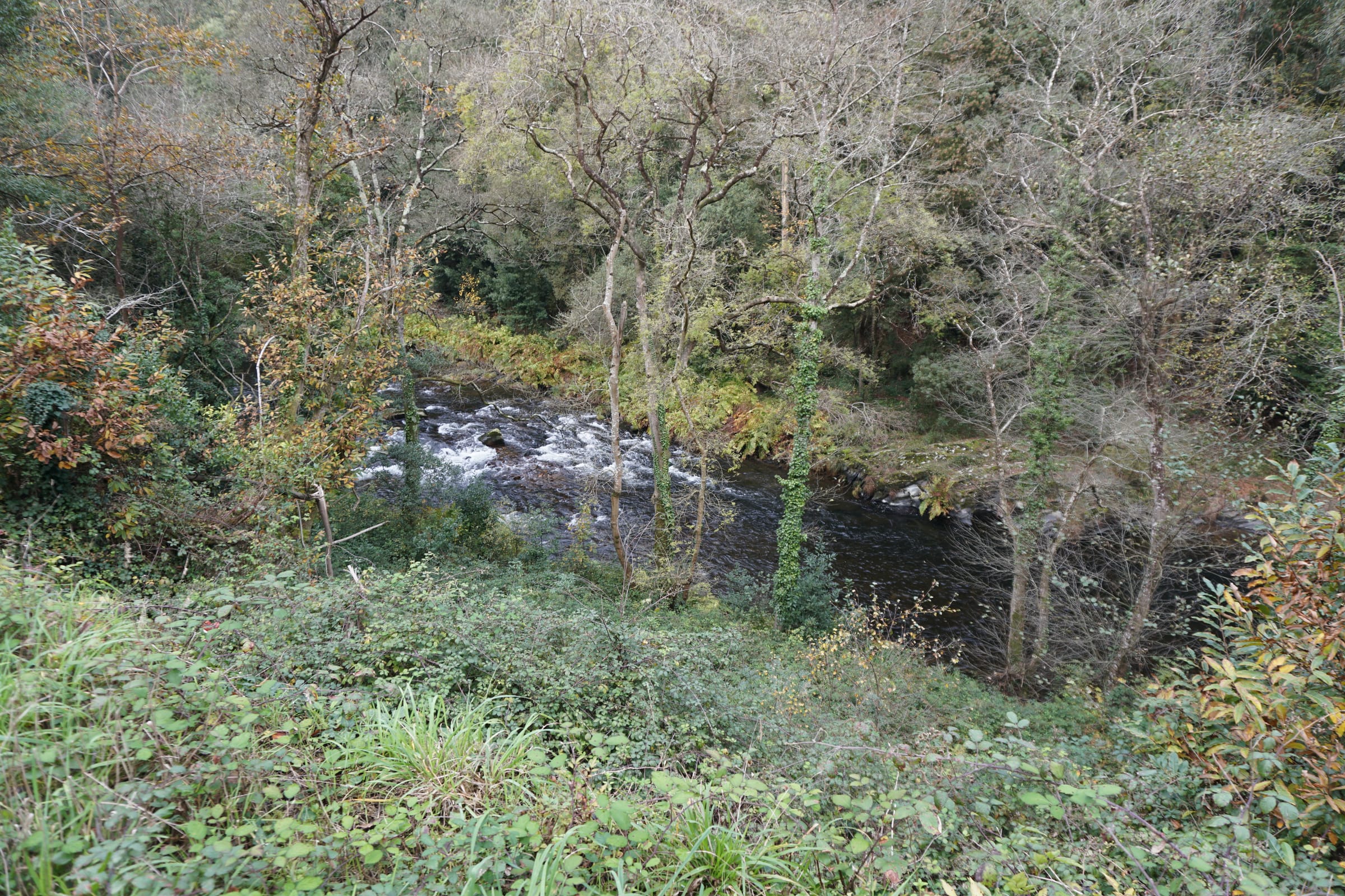
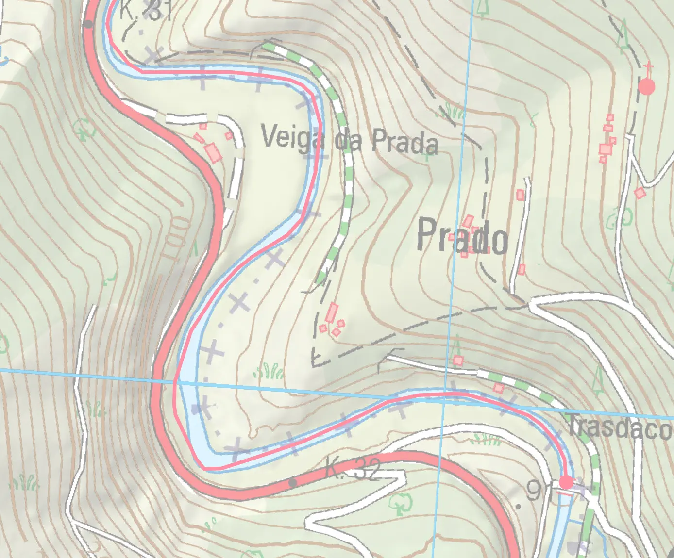
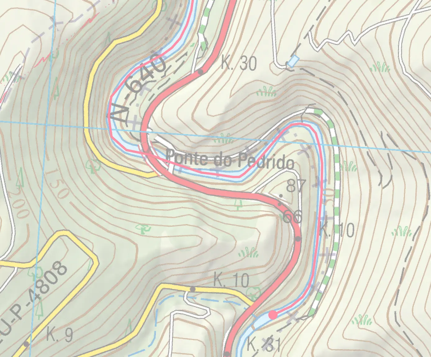
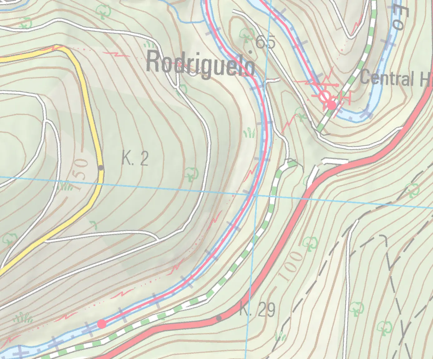
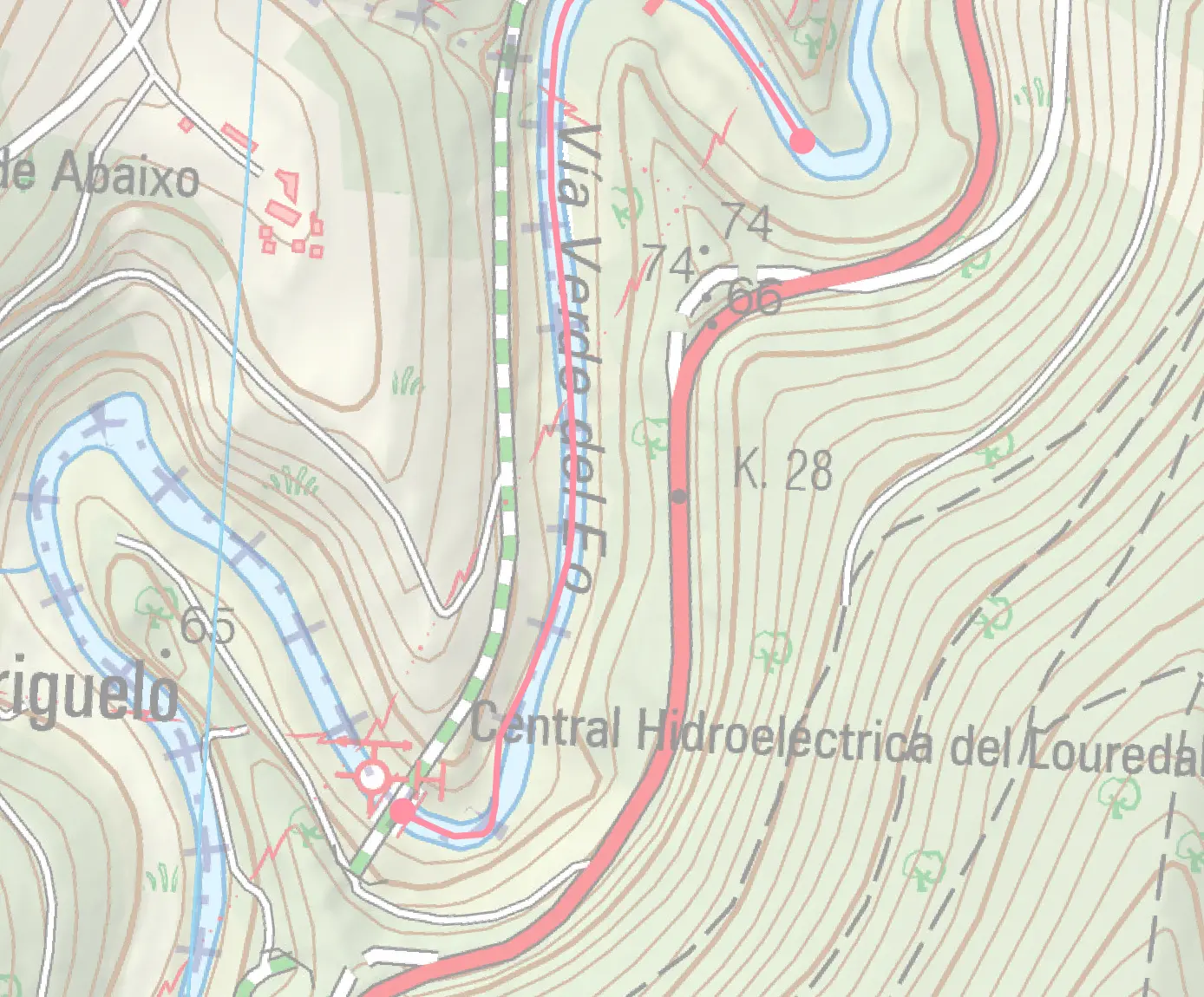
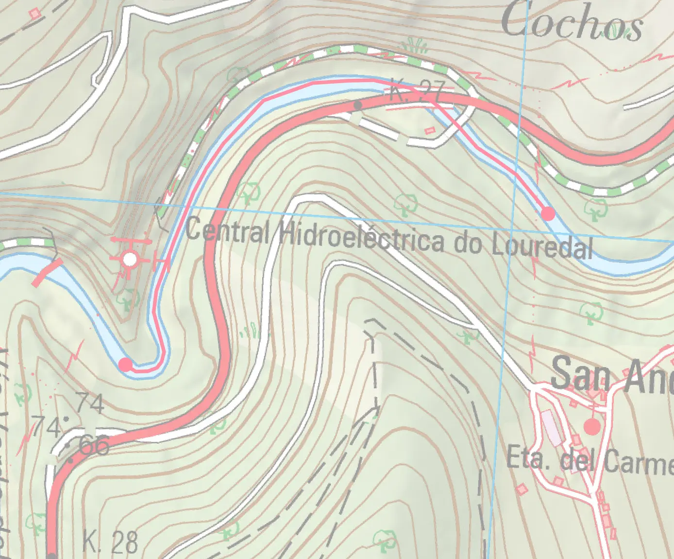
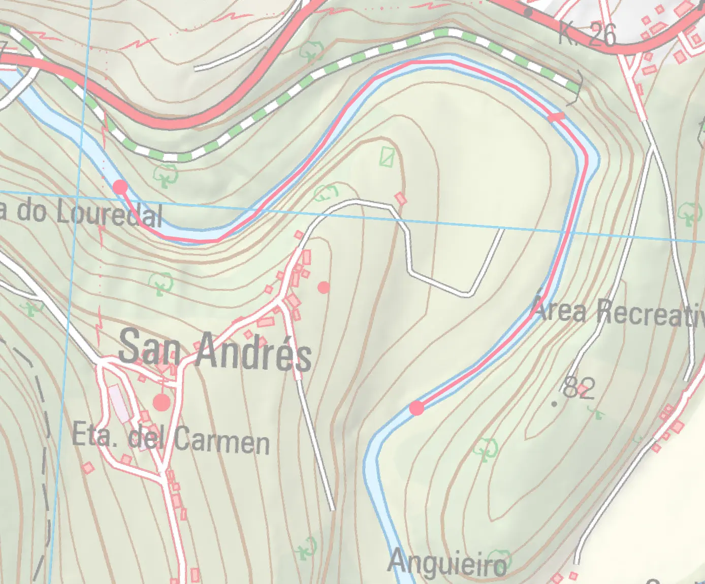
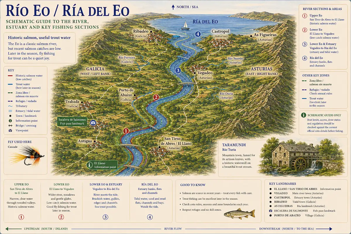
The Eo was until recently a classic Atlantic salmon and sea trout river forming the traditional border between Asturias and Galicia, flowing 81 km from the interior slate moorlands to the beautiful ría at Ribadeo. The river's character is pure Atlantic spate — narrow, tumbling upper reaches; productive middle-section cotos; and tidal lower reaches that concentrate salmon and sea trout. The Eo's slate geology creates distinctive dark, polished pools and fast rocky runs with excellent salmon-holding characteristics. Spring and early summer (May–June) bring salmon runs; late June and July see a transition to sea trout and brown trout. The river responds quickly to rainfall (6 hours) due to its compact catchment, making it an excellent choice for weather-dependent fly-fishing tactics. Coto beats are allocated via the regional sorteo; Fishing techniques range from dry fly on summer low water to heavy spey casting in spring flood. The Eo's lower reach is tidal — salmon hold in the estuary and run during high water; timing is critical. Sea trout anglers fish evening tide with small flies (sizes 10–14). The river fishes best gauge readings of 0.8–1.5 m. Ribadeo offers excellent accommodation and dining; local tackle shops provide up-to-date river reports. Atlantic salmon stocks are under serious conservation pressure, and the 2026 cupo is tightly limited — one salmon per angler per year may be killed; any further fish must be released.
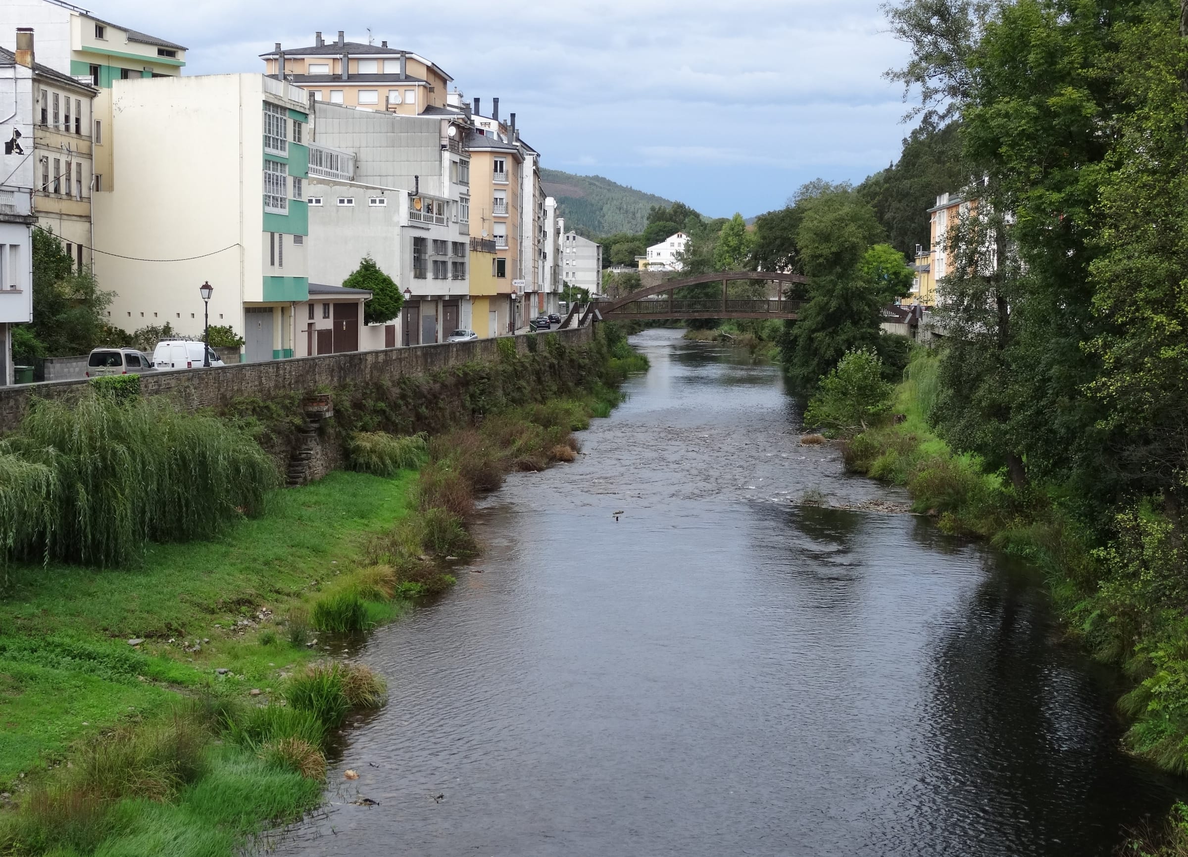
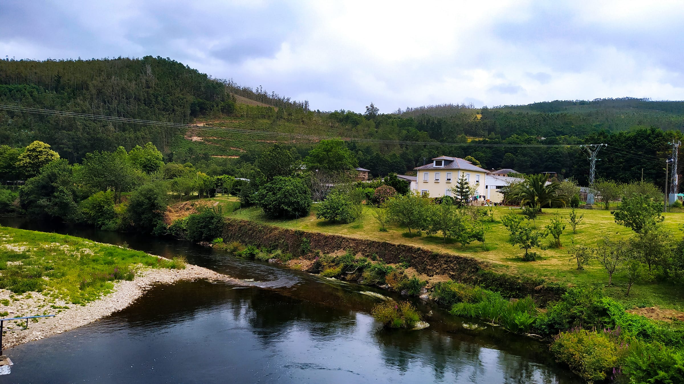
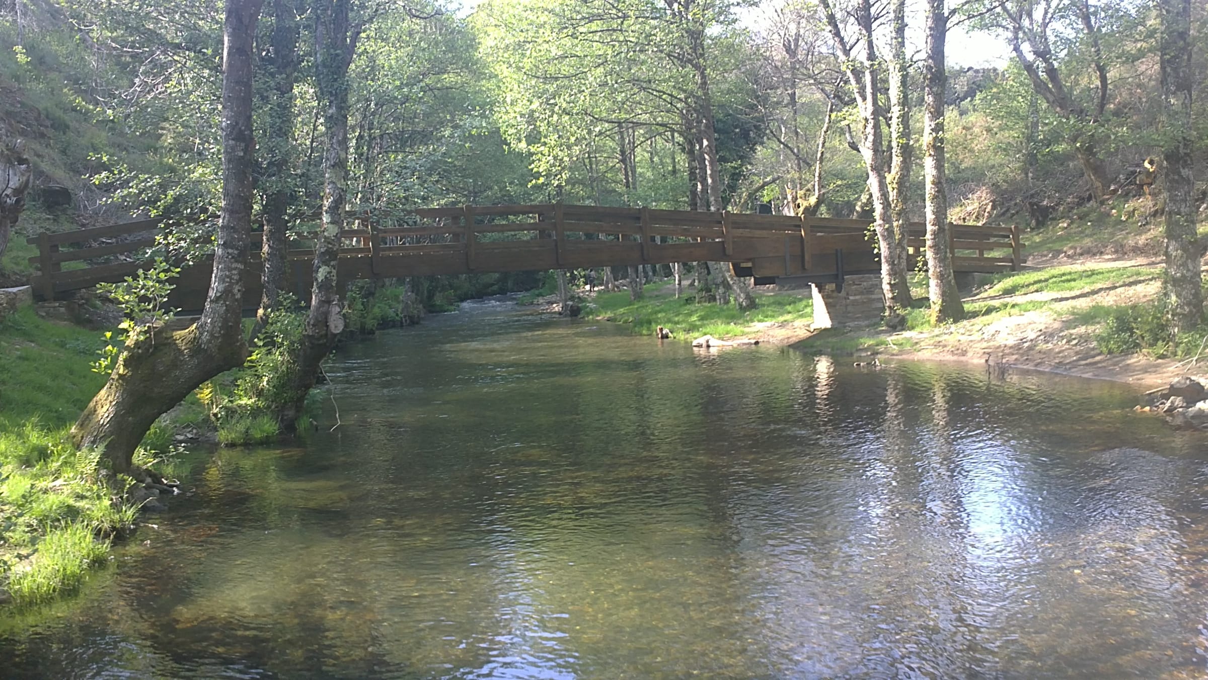
The Eo marks the boundary between Asturias and Galicia, running roughly 52 kilometres from the slate and quartzite Cantabrian headwaters down through western valleys to the sea at Castropol. The upper reaches are step-pool and partly confined on mixed slate and quartzite; the geology gives the water that amber tone, the kind of colour that follows slate everywhere. The middle Eo settles into pool-riffle sequences on well-sorted cobble emerging from the slate. The river is responsive — the Cantabrian rainfall means it can peak and return quickly — and the pool sequences shift position with the seasons. Lower reaches flatten toward the estuary. The Eo marks a boundary not just politically but in landscape character; you feel the shift from eastern Asturias's dramatic limestone into the moodier slate-country character that belongs to Galicia. Watch the slate slabs in the upper sections — they offer good fishing and treacherous wading.
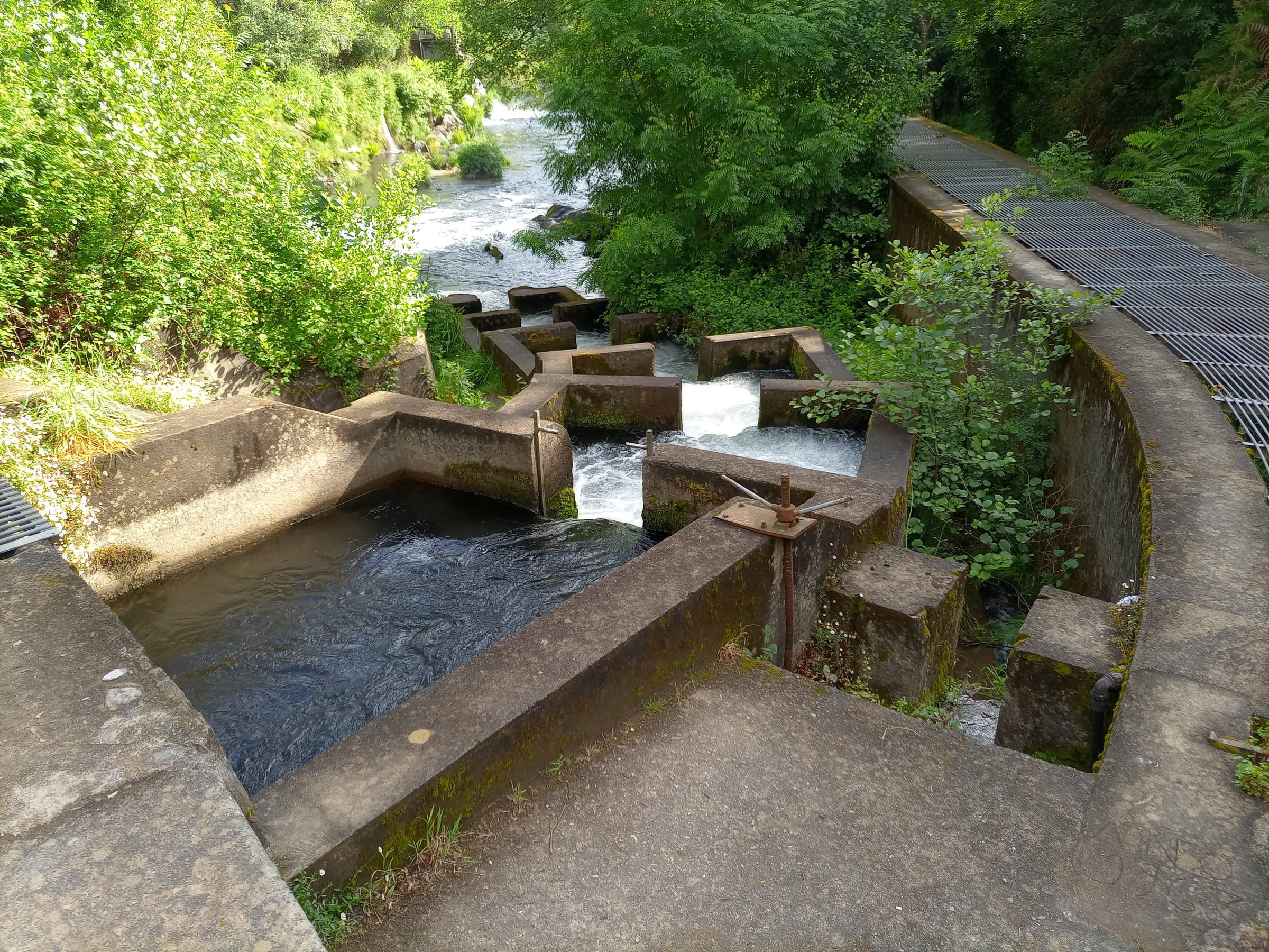
Wading: Algal coated slate slabs at step lips
- Slate
- Partly confined
- Step pool
- Pool riffle