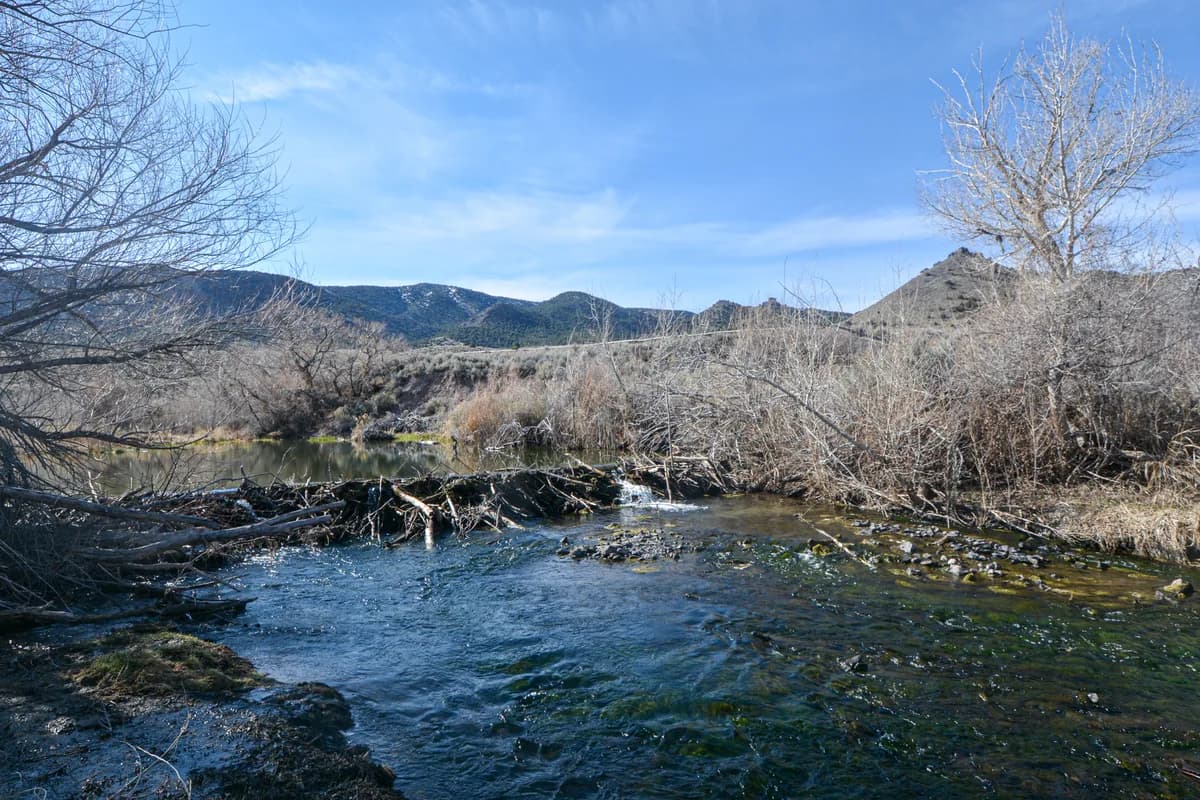
The Beaver is southern Utah's overlooked little gem — a snowmelt freestone tumbling down Beaver Canyon out of the Tushar Mountains, the highest range in this corner of the state, east of the town of Beaver on the Highway 153 corridor. It's small-water fishing for wild browns and rainbows in a high, cool canyon that feels a long way from anywhere, with the Tushars' eleven- and twelve-thousand-foot peaks closing in overhead. Pocket water, plunge pools, willow-tunnel runs — the kind of creek where a hopper-dropper and a careful approach do most of the work and the fish reward an accurate cast over a long one. Easy access up the canyon road and through the campgrounds. Spring runoff comes off the Tushars hard and colours it for a stretch; once it drops and clears through summer into autumn it's an honest, uncrowded freestone that almost no one outside the area bothers to fish. Below town the river gets dammed and diverted for the valley — the fishing is up the canyon, in the cold water.
- Mixed