Freestone · Schist · Cévennes / Lozère-Ardèche

Chassezac

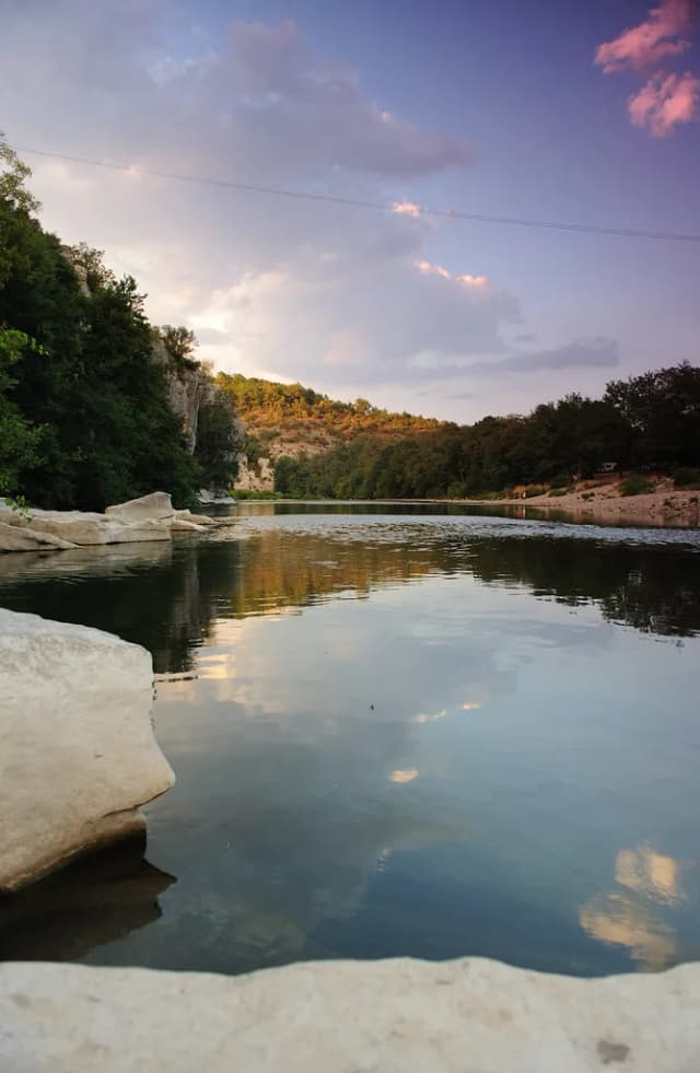
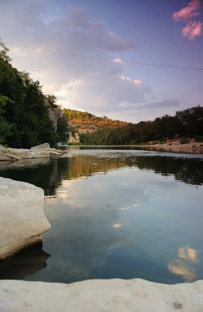
Chassezac — No need for HDR
Contributor photo

No need for HDR

Dirty S (https://www.flickr.com/photos/8056362@N02) - CC BY

The Chassezac is a small river that does a very dramatic thing: it starts on the schist of Mont Lozère, runs south through trout water that could sit anywhere in the Cévennes, and then cuts abruptly into the limestone to form the Gorges du Chassezac — a vertical-walled canyon that local kayakers speak about in tones of respectful fear.

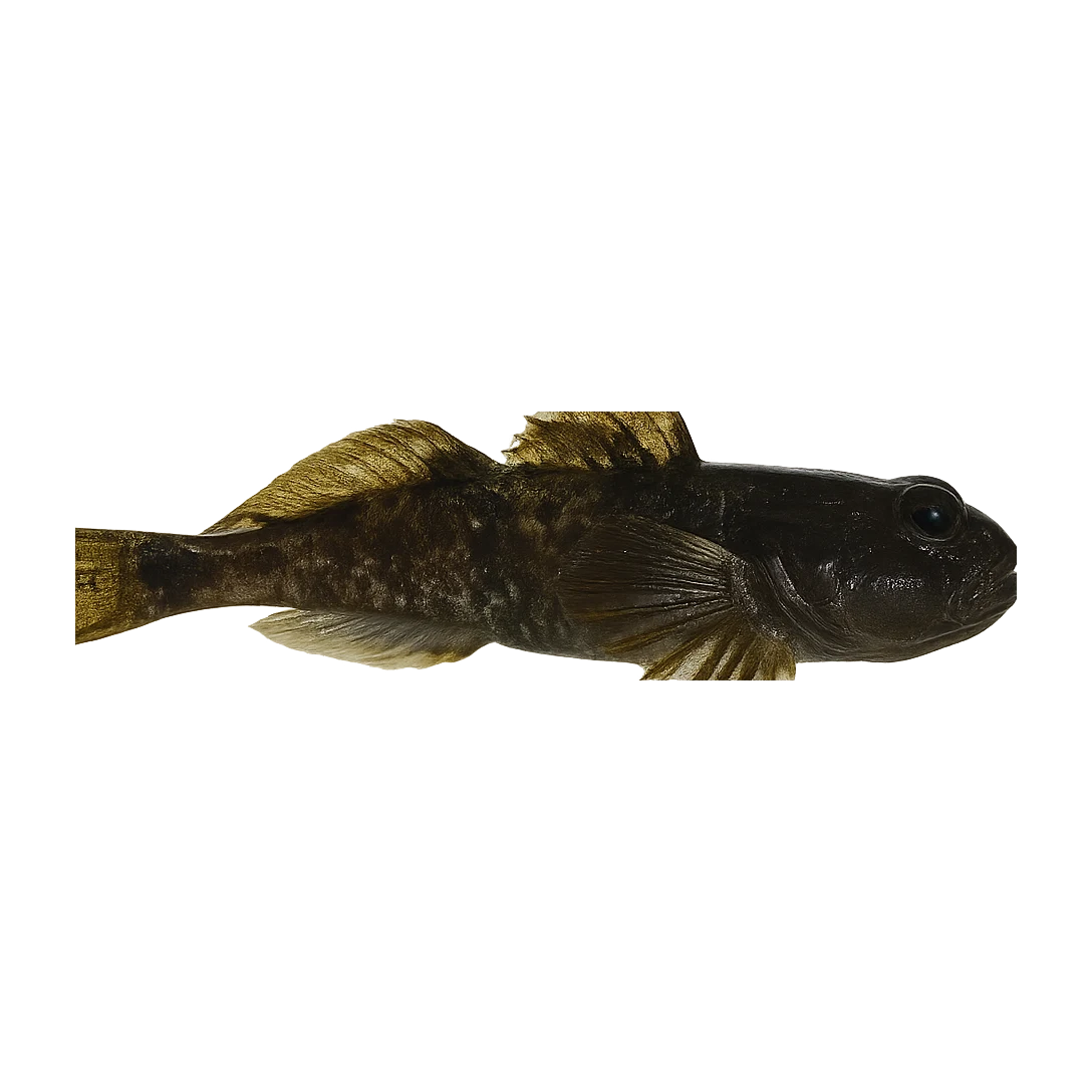
Poor · Brown Trout
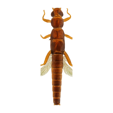
CDC Emerger · 16-18
Poorlive now
Not the day for it
River temperature is the limiting factor today, not the flow. This is not the day to push it. Check the thermal advice above before you head out.
90% confidence
What moved it
  • LevelDry recentlyNo gauge reading
  • Water temp22.1°C
  • ClarityClear
Today’s fly
CDC Emerger
CDC Emerger16-18
Dead-drift
Conditions on the water
Estimate
Level
Dry recently
No gauge reading
Water temp22.1°C
ClarityClear
Weather21°C
WindNW 2 km/h
Pressure1017 hPa
Rain · recent0.0 mm
Rain · ahead2.0 mm

No gauge on this water — readings are regional estimates from weather, not a live gauge.

Water temperature for brown trout
Warm — slow
22°C est.ideal 1016°C
0°14°28°
How to fish it · for brown trout
When
Through the open trout season. Spring olives April through May; sedges through summer evenings.
Where
Pool tails and pocket water through the Lozère-Ardèche valley. Cévennes freestone — clear water, fast pockets.
Method
Upstream dry to risers; dry-dropper through the riffles. The water reads clear — long leader, fine tippet. Move slowly, cast accurately.
Kit
9 ft #4 — French freestone default. Floating line, 12 ft leader to 4 to 5 lb fluoro. Studded boots.
Why this works
⛔ Water at 22.1°C. This is the line where catch-and-release kills brown trout. Do not fish for them today.
Sub-surface · on the nymphunder the surface

Hatch predictions

See the full sub-surface read with Pro.

Start free trial

14-day free trial. Cancel anytime.

Beyond the hatch · worth watchingambient prey

Hatch predictions

Top prey shown — see all 2 with Pro.

Start free trial

14-day free trial. Cancel anytime.

Evidence
Survey-backed · regionalModerate confidence

Backed by regional invertebrate surveys; no sampling on this exact reach yet.

Through the year
0–3 scale · July highlighted
J
F
M
A
M
J
J
A
S
O
N
D
Trout seasonSeason
1
2
2
2
2
2
1
GrannomHatch
2
2
Evening SedgeHatch
2
3
3
3
2
Large Dark OliveHatch
1
2
2
1
Iron BlueHatch
1
2
2
1

Numbers are intensity 0 (none) to 3 (peak) — a guide, not a guarantee.

Ranked for today
Brown Trout fly box
Permits & access
Permit required — see local rules.
  • AAPPMA Lozère / Ardèche
  • 1ère catégorie
  • Wild trout reserve zones in the upper reaches.
What's coming
Plan ahead
5-day outlook
Water here around 22°C. Nothing cooler within range — carry a thermometer.
Gallery · 2
  1. Chassezac — No need for HDR
    No need for HDR
  2. Terrain map of the venue
    Terrain map
About this water

The Chassezac is a small river that does a very dramatic thing: it starts on the schist of Mont Lozère, runs south through trout water that could sit anywhere in the Cévennes, and then cuts abruptly into the limestone to form the Gorges du Chassezac — a vertical-walled canyon that local kayakers speak about in tones of respectful fear. The trout fishing is in the upper reaches above the gorges and in the tributary streams that feed it. It is the kind of water where you park the car at a back-road bridge, walk upstream for half an hour, and then realise you probably won't see another angler all day. The usable beats are above Les Vans and upstream of the first hydroelectric barrage. The fish are small — six to ten inches is the honest range, with occasional better fish in the deeper pools — but they rise confidently to a well-presented dry in the right weather. March through early June is the window. After that, like most Cévennes water, the Chassezac thins out to a trickle and the fish retreat to the holding pools. The schist colour is always there, even at low water: dark water that looks almost peat-stained but isn't.

  • Schist
Water quality (WFD)
  • EcologyGood
  • ChemicalUnknown
What this classification means

WFD ecological status Moderate → Good corrected to EEA WISE 2022 (3rd RBMP) classification for waterbody FRDR413C (was a stale earlier-cycle value). Source: EEA WISE SWB_SurfaceWaterBody (discodata.eea.europa.eu), verified 2026-06-18.

WFD classification · FRDR413C

The full read · show the working · for brown trout · confidence 90%
How the 12 is built — score × weight = contribution
Temperature6 × 28%1.7
Flow60 × 22%13.2
Clarity95 × 18%17.1
Feeding Time40 × 13%5.2
Pressure80 × 7%5.6
Insect activity42 × 12%5.0
Limiting factor: Water temperature (22.1°C) is outside Brown Trout's preferred range (10–16°C)= 48
Can you trust it?
Water temperatureair-to-water estimateestimated
Level / flowon-river gaugeobserved
Prey activitysurvey-backed invertebrate datasurvey
What would change the calculation
Cooler water — back toward the 10–16 °C ideal band — would lift the score and ease welfare.
The dawn and dusk windows score higher than the midday lull.
Directions
Seasons & zones
  • Trout2nd Saturday of March → 3rd Sunday of September
Related guides
Booking & contacts